Destinations & Culture
Exploring the High Atlas Mountains in Morocco
Where the High Atlas is, what makes it special, how to explore it on foot or by road, and how to choose the right area for your trip.
Atlas Trek TravelPublished 4 min read
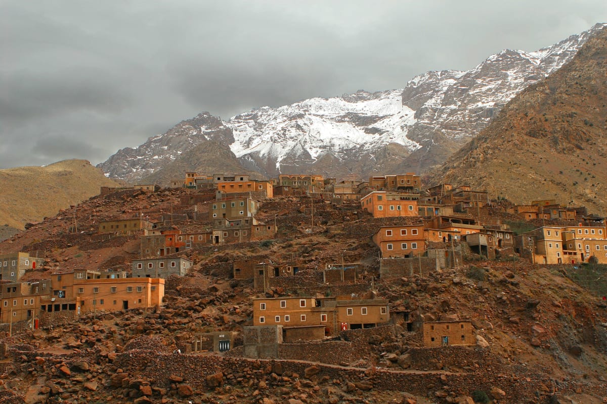
Seen from a Marrakech rooftop on a clear winter morning, the High Atlas looks like a wall of snow floating above the city. Up close, it is something far richer: a world of deep valleys, red earth villages, walnut groves, high pastures and some of the highest summits in Africa. For travellers, it offers a rare combination — real mountain wilderness and living culture, just a short drive from an international airport.
This guide introduces the High Atlas and helps you decide how to explore it.
The geography of the High Atlas
The Atlas Mountains stretch across Morocco, Algeria and Tunisia. In Morocco they form several distinct ranges, of which the High Atlas is the highest and most dramatic. It runs across the centre of the country, separating the Atlantic-facing plains around Marrakech from the pre-Saharan valleys to the south.
At its centre, south of Marrakech, the Toubkal massif concentrates several summits above 4,000 metres, including Jebel Toubkal itself (4,167 m). Further east, other high massifs such as Ighil M'Goun (4,071 m) attract trekkers looking for remote, multi-day journeys.
Historic roads cross the range over high passes. The N9 climbs to the Tizi n'Tichka at 2,260 metres on its way to Ouarzazate, while the R203 crosses the Tizi n'Test towards Taroudant. Between these roads, countless mule paths link valleys that have been farmed for centuries. Our High Atlas destination guide gives an overview of the region.
Landscapes that change with every step
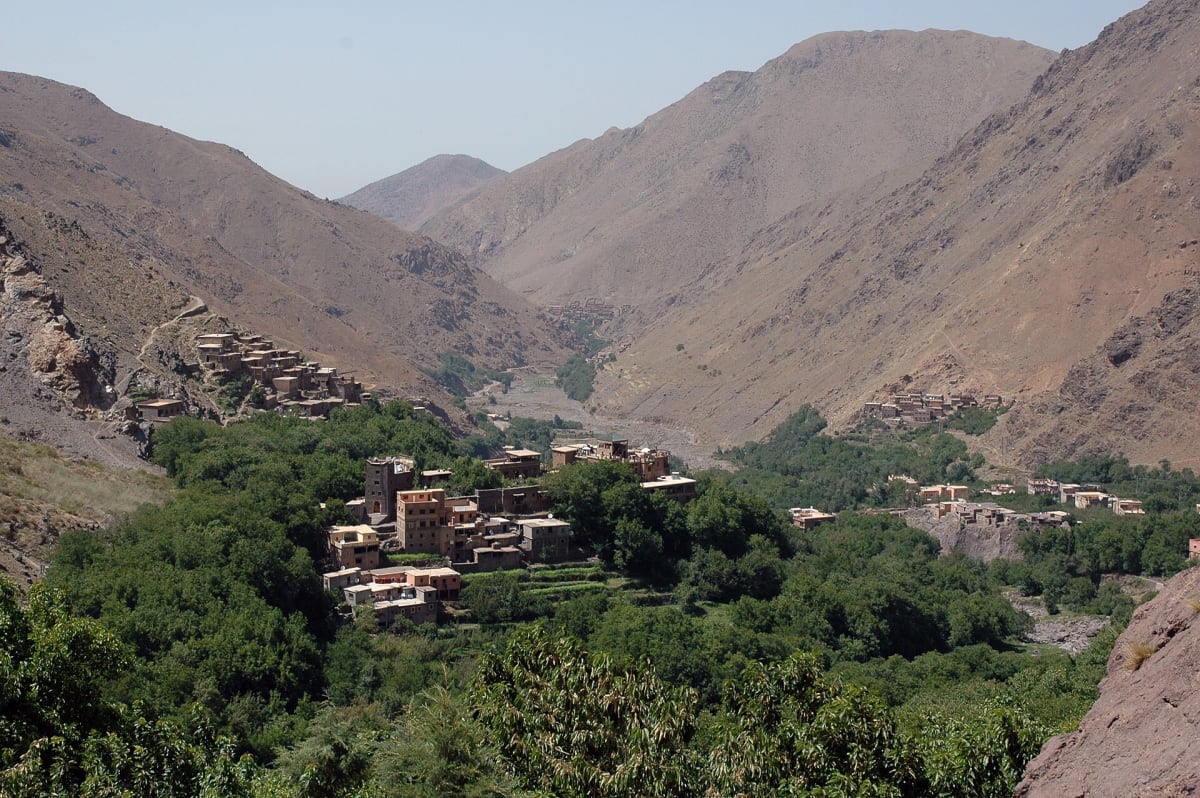
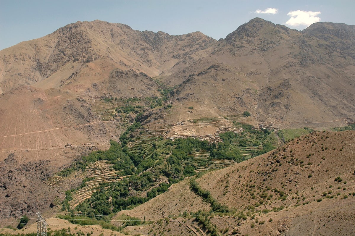
What surprises many visitors is the variety. In a single day's walk you can pass from irrigated terraces and orchards on the valley floor, through juniper and holm-oak slopes, to bare rock and scree near the passes. Colours change too: ochre and red earth, green barley and maize in season, gold walnut leaves in autumn and snow on the summits for much of the winter.
Water shapes everything. Snowmelt feeds rivers and the irrigation channels that villages share and maintain together. Wherever water flows, there is life; just above the last channel, the mountain turns dry and stony.
Villages and culture
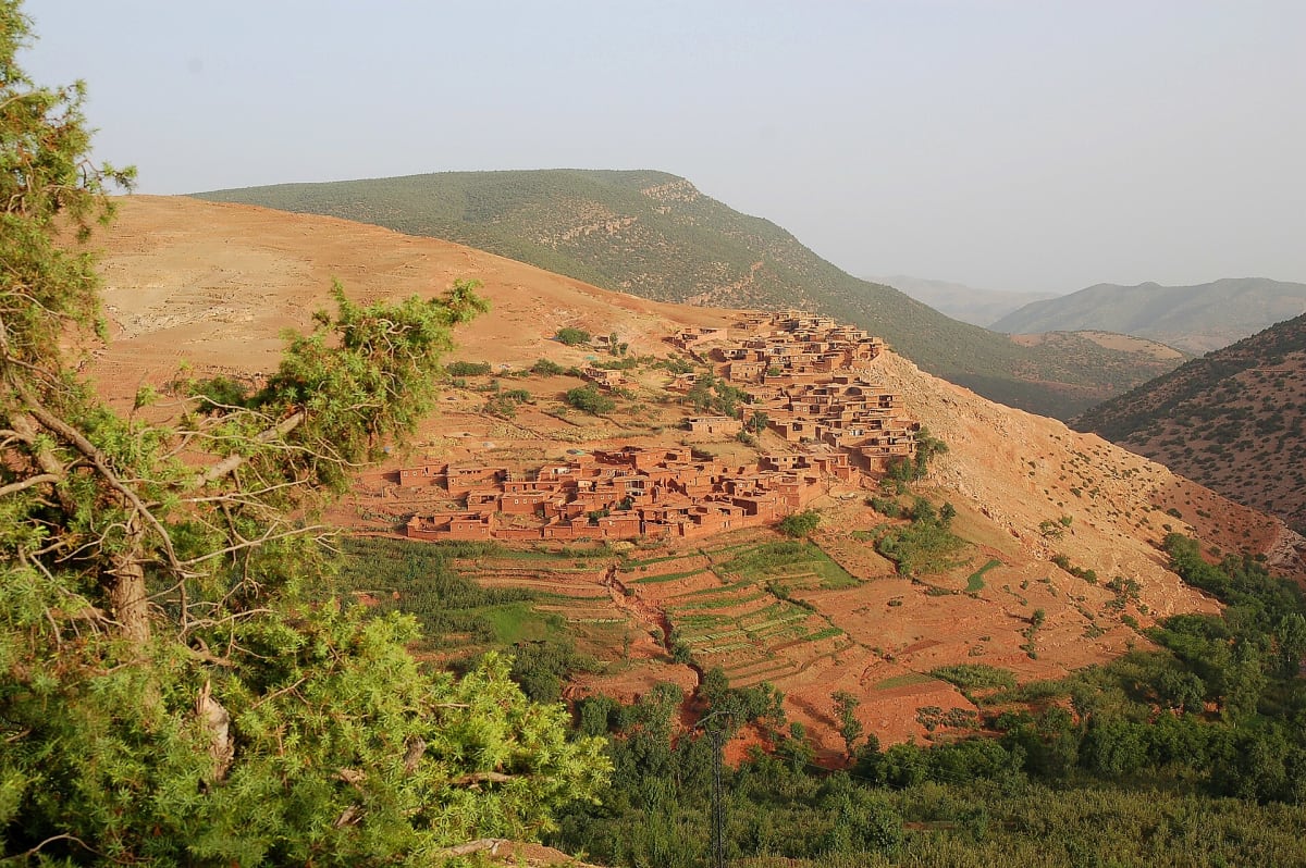
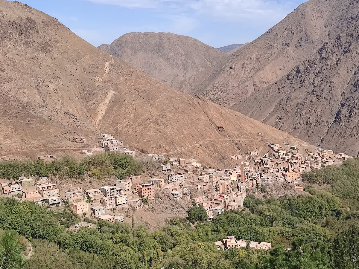
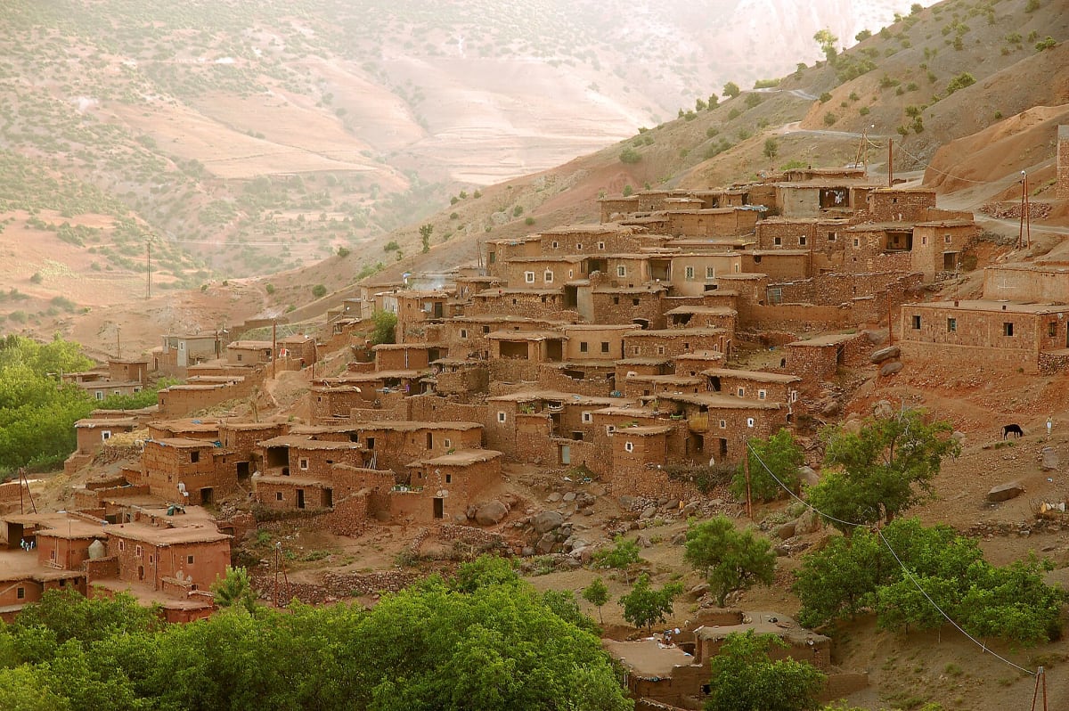
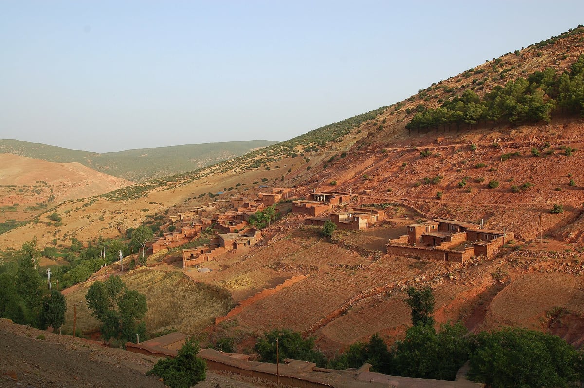
The High Atlas is home to Amazigh (Berber) communities who have adapted to the mountains over generations. Villages are built from stone and earth, often stepped up hillsides above their fields, with flat roofs used for drying crops. Mules remain essential for carrying loads along paths where no road can go.
Hospitality is central to mountain life, and visitors are often welcomed with mint tea. To understand village life more deeply, read our articles on traditional Berber villages and Amazigh culture and traditions.
How to explore the High Atlas
On a day trip from Marrakech
If your time is limited, a day trip is enough to experience the mountains. The Imlil valley, about 1 hour 30 minutes from Marrakech, offers excellent village walks and views of the Toubkal massif. Our private day trip from Marrakech to Imlil combines transport and a guided walk.
On a day hike from a mountain base
Staying in the mountains — in Imlil, for example — lets you walk for a full day without long drives. Routes over the passes around the village reveal the valley's best viewpoints. See our Imlil valley day hike.
On a multi-day trek
Crossing passes from valley to valley, sleeping in village guesthouses or gîtes, is the most immersive way to discover the High Atlas. Routes can be adapted to almost any level. Read our guide to multi-day trekking in Morocco or look at our High Atlas multi-day trek.
On a summit ascent
For fit walkers, Toubkal offers the chance to stand on North Africa's highest point. Our complete guide to Mount Toubkal explains what it involves.
Choosing the right area
- Imlil and the Toubkal massif: the most accessible high mountains near Marrakech, with the widest choice of walks and the Toubkal ascent.
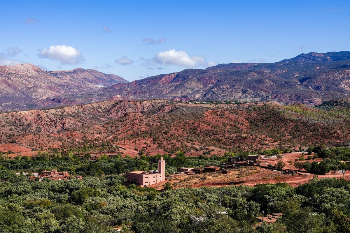
- Ouirgane and the Nfis valley: lower, quieter landscapes of red hills and olive groves, ideal for gentle walking. See our Ouirgane guide.
- The Ourika valley: a green river valley with cascades, very popular for day trips from Marrakech.
- Remote eastern massifs: for experienced trekkers with more time.
When to go
Spring and autumn are ideal for most walking. Summer is pleasant at altitude, though hot in Marrakech, with occasional afternoon storms. Winter brings snow to the high ground: village walks are still beautiful, but summits require winter equipment and experience. For a closer look at the seasons on Toubkal, read the best time to climb Mount Toubkal.
Travel responsibly
The High Atlas is not a theme park but a home. Dress modestly in villages, ask before taking photographs of people, carry your rubbish out and buy locally where you can. Travelling with a local guide also keeps income in the communities you visit.
Start planning
Whether you dream of a summit or simply a day among the villages, the High Atlas is closer than you think. Tell us how long you have and what you enjoy, and our team in Imlil will suggest the right itinerary — contact us.
Frequently asked questions
How far are the Atlas Mountains from Marrakech?
The foothills begin less than an hour south of Marrakech. Imlil, at the foot of Toubkal, is about 65 km away — roughly 1 hour 30 minutes by road.
What is the highest mountain in the High Atlas?
Jebel Toubkal, at 4,167 metres, is the highest peak in the High Atlas, in Morocco and in North Africa.
Can you visit the High Atlas without trekking?
Yes. Scenic drives, village visits, valley walks and cultural experiences let you enjoy the mountains without long hikes.
Ready for the mountains?
Tell us your dates and what you would like to do. We will reply personally with ideas, availability and a clear quote.