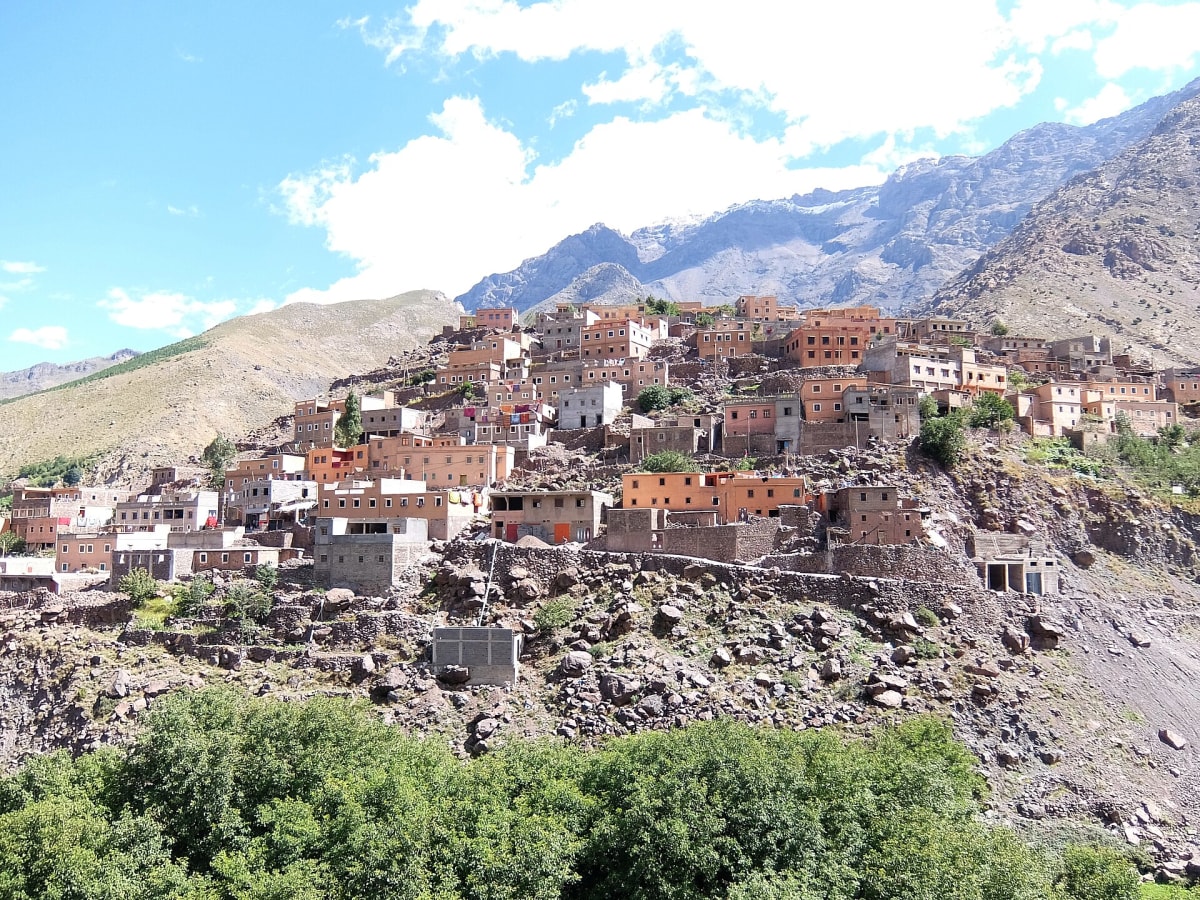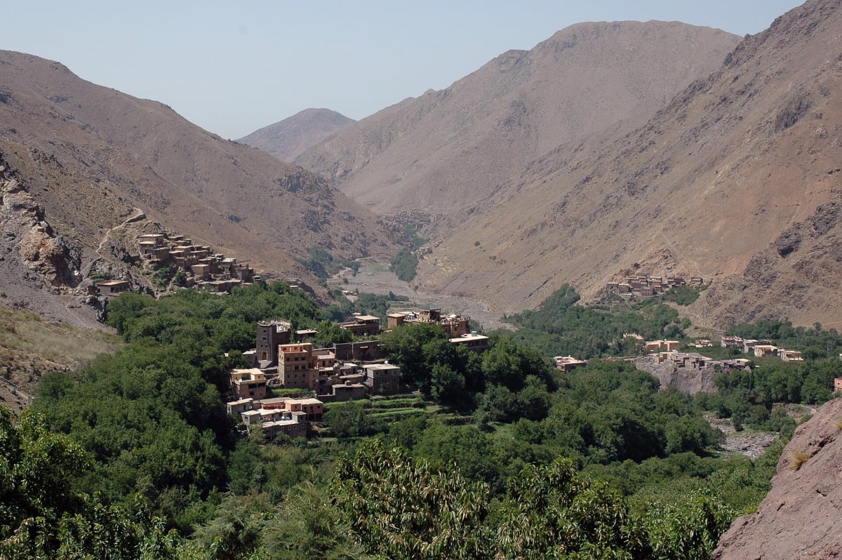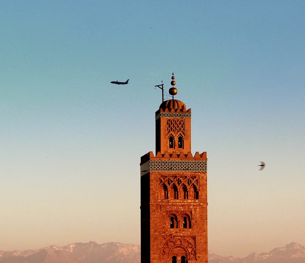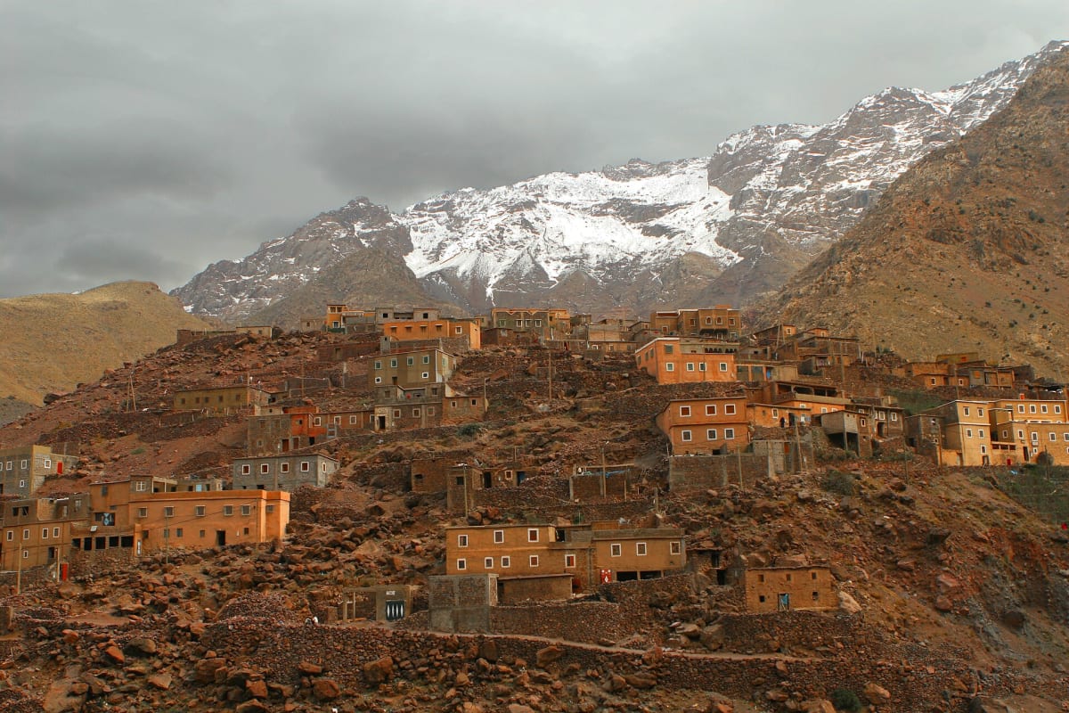
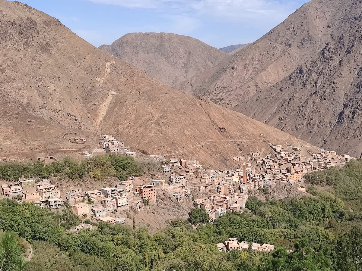
Imlil is the village where most journeys to Mount Toubkal begin — and for us it is home. Set at around 1,740 metres at the head of a green valley about 65 km south of Marrakech, it is a place of stone and earth houses, walnut and apple trees, mules on the path and the sound of irrigation channels running between terraced fields.
Many visitors pass through Imlil in a hurry on their way to the summit. Those who stay a little longer discover a living mountain community, a network of footpaths linking traditional villages, and some of the most beautiful walking in Morocco.
Geography & location
Imlil lies in the Al Haouz province of the Marrakech-Safi region, at the upper end of the Aït Mizane valley. The road from Marrakech climbs through Tahnaout and Asni before following the valley up to the village. Above Imlil the valley continues towards Aroumd, Sidi Chamharouch and the refuges below Toubkal, while side valleys and passes lead east towards Tamatert, Tacheddirt and the Imnane valley.
Landscapes & nature
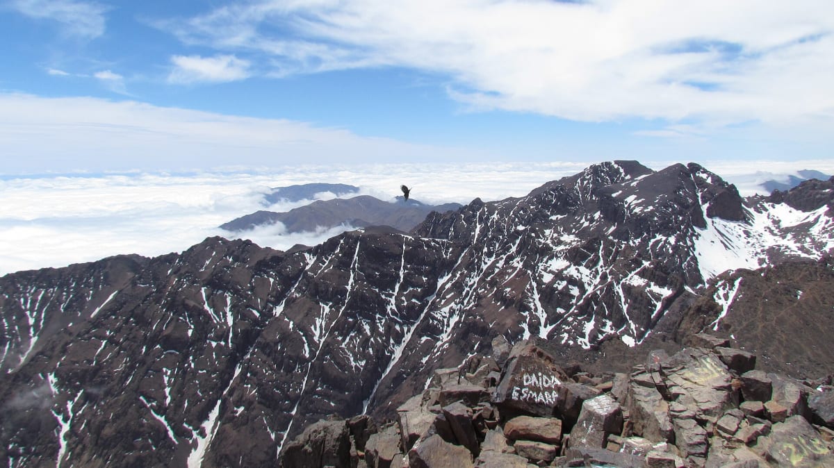
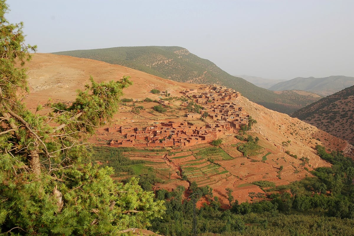
The valley floor is a patchwork of irrigated terraces, walnut trees, cherry and apple orchards. Higher up, the vegetation thins into juniper, scree and bare rock, and the summits of the Toubkal massif — snow-covered for part of the year — close the horizon. Spring brings blossom and green fields; autumn turns the walnut leaves gold.
Mountains & hiking
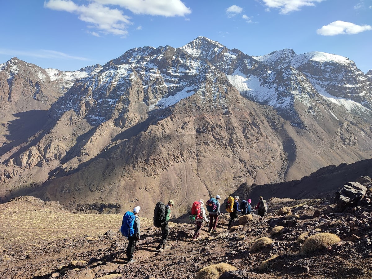
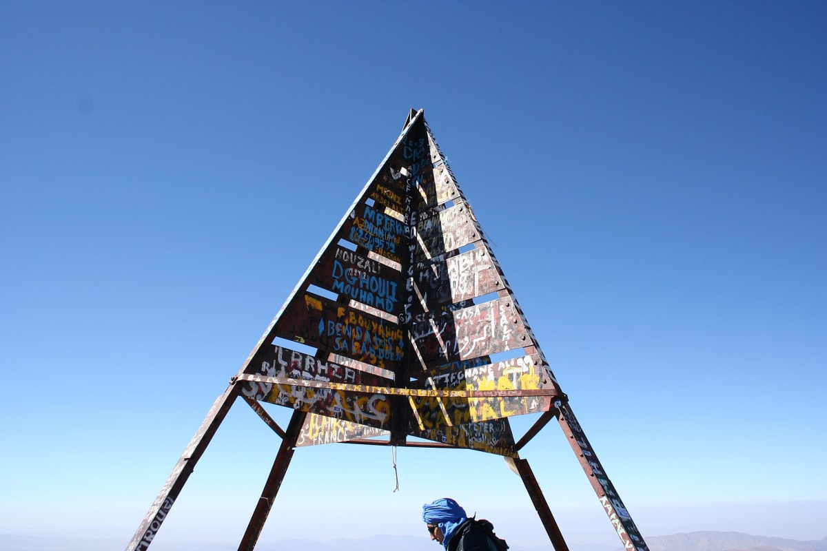
Imlil is the trailhead for the classic two-day Toubkal ascent and for countless shorter walks: the easy path to Aroumd, the climb to the Tizi n’Tamatert pass, loops through neighbouring villages and longer routes towards the Imnane and Azzaden valleys. A licensed local guide makes the difference here — not only for route-finding and safety, but for the stories behind each village and path.
Culture & traditions
The people of the valley are Amazigh (Berber) and speak Tashelhit as well as Arabic. Daily life still follows the rhythm of the seasons: ploughing and harvesting the terraces, tending orchards, moving mules along the paths. Hospitality is central — a glass of mint tea is the natural start of any visit. Villages in the region were affected by the September 2023 Al Haouz earthquake, and travelling with local people helps keep income in the valley.
Practical travel information
- From Marrakech: about 65 km by road, roughly 1 h 30 min depending on traffic and conditions.
- From Marrakech airport (RAK): about 63 km — a private transfer is the simplest option, especially with luggage.
- Altitude: around 1,740 m — nights are cool even in summer and cold in winter.
- Weather: snow is possible in the mountains from late autumn to spring; check conditions before you travel.
- Money: bring Moroccan dirhams in cash; card payment is not always available in the mountains.
Gallery
Frequently asked questions
How do I get from Marrakech to Imlil?
The most comfortable option is a private transfer (about 1 h 30 min). Shared grand taxis also run via Asni, but they leave when full and usually require a change.
Is Imlil worth visiting if I am not climbing Toubkal?
Absolutely. Imlil has excellent day hikes through villages and orchards, waterfalls, viewpoints and a calm mountain atmosphere just a short drive from Marrakech.
How many days should I spend in Imlil?
One full day allows a good village walk; two or three days let you combine a Toubkal attempt or a pass hike with time to enjoy the valley.