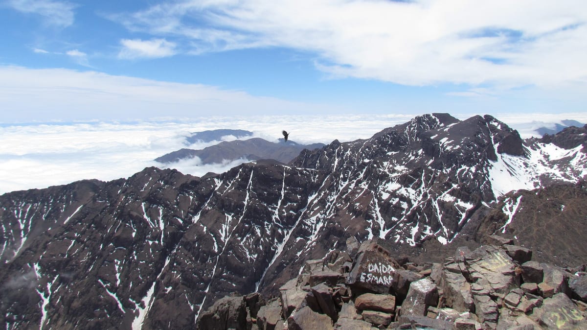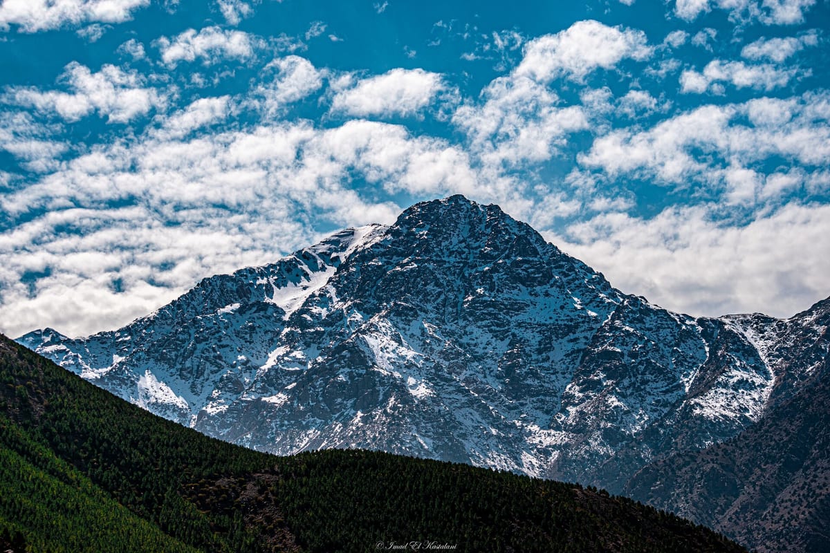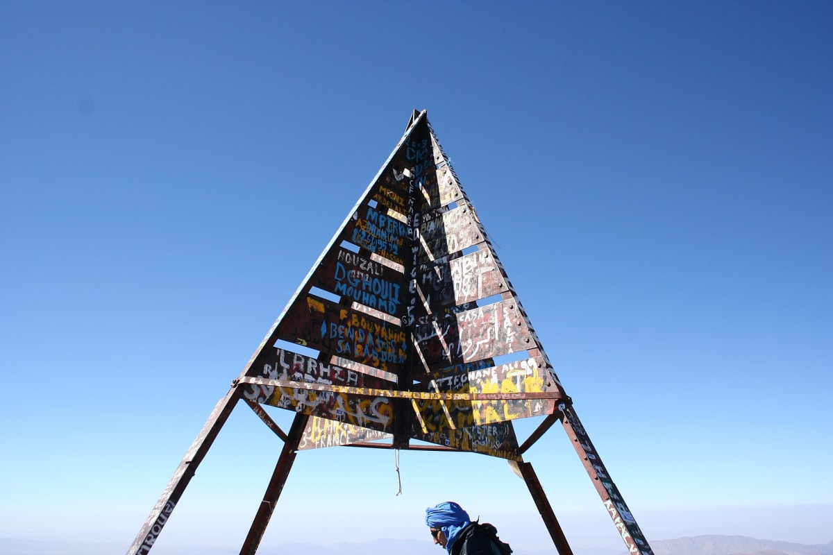
At 4,167 metres, Jebel Toubkal is the highest mountain in Morocco and in all of North Africa. Its summit, marked by a metal pyramid, looks out over a sea of ridges in every direction — on clear days you can see the plains around Marrakech to the north and the Anti-Atlas to the south.
In good summer conditions the standard route is a walk rather than a climb: no ropes or technical skills are needed. But it is a long, high and physical day, and the mountain deserves respect, especially when snow and ice cover the upper slopes.
Geography & location
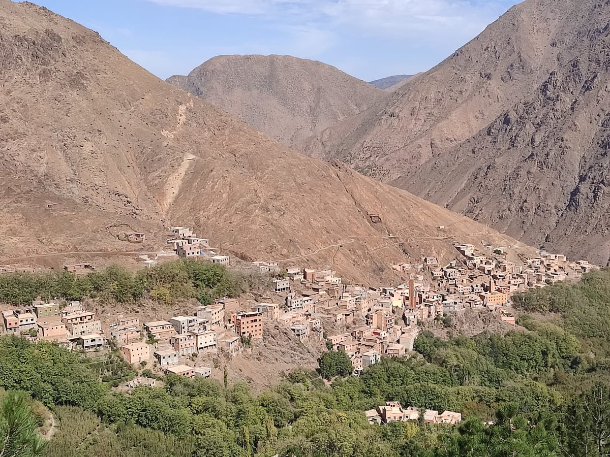
Toubkal stands at the centre of the Toubkal massif, within Toubkal National Park — created in 1942 as Morocco’s first national park. The summit lies roughly 10 km south of Imlil as the crow flies. The classic route follows the Mizane valley past the village of Aroumd and the shrine of Sidi Chamharouch to the mountain refuges at around 3,200 m, then climbs the south cirque to the summit ridge.
Landscapes & nature
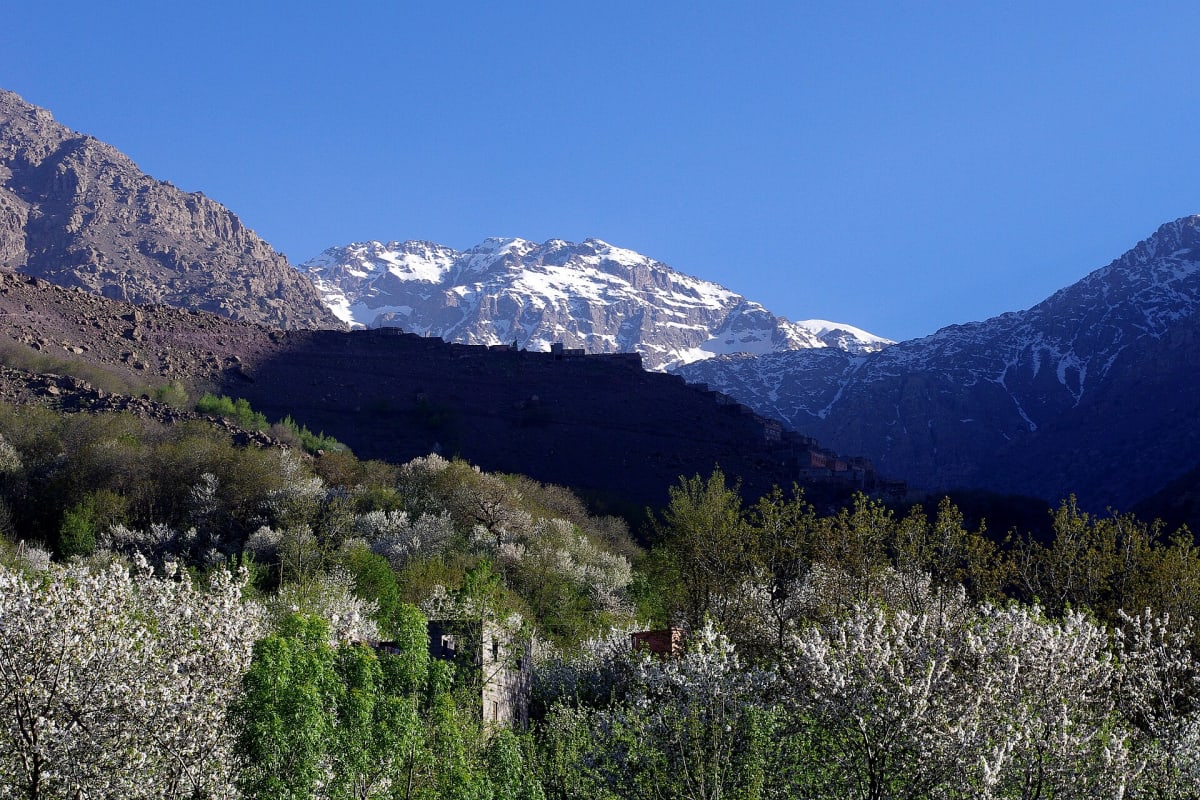
Above the last villages, the landscape becomes high-mountain terrain: boulder fields, scree slopes, granite and volcanic rock, and small springs. Snow commonly covers the upper slopes in winter and spring, while late summer and autumn bring dry, stony ground and very clear skies. Several neighbouring summits of the massif also rise above 4,000 metres.
Mountains & hiking
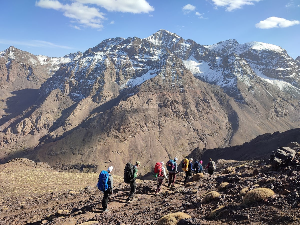
Most trekkers climb Toubkal over two days: Imlil to the refuge on day one (usually 5–6 hours of walking), then an early start for the summit and the long descent back to Imlil on day two. A three-day itinerary gives more time to acclimatise and is the better choice for many people. In winter conditions the ascent becomes a mountaineering objective requiring crampons, an ice axe and experience.
Culture & traditions
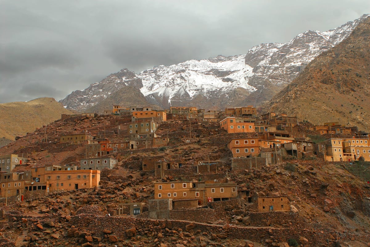
The trail passes through Amazigh villages and the small pilgrimage site of Sidi Chamharouch, a shrine visited by local pilgrims. Mules and muleteers from the valley carry supplies to the refuges, as they have for generations. Many visitors are surprised by how much the human side of the journey — tea stops, conversations and village life — adds to the summit itself.
Practical travel information
- Guide: hikers in the Toubkal area are expected to be accompanied by a licensed local guide — a rule widely reported since 2018–2019. Confirm the current requirements when booking.
- Best seasons: late spring to autumn for non-technical conditions; winter ascents require winter equipment and experience.
- Altitude: the summit is above 4,000 m. Go slowly, drink plenty and tell your guide if you feel unwell.
- Accommodation: trekkers usually sleep in a mountain refuge at around 3,200 m.
Gallery
Frequently asked questions
How high is Mount Toubkal?
Jebel Toubkal is 4,167 metres (13,671 ft), the highest peak in Morocco and North Africa.
Do I need a guide to climb Toubkal?
Hikers in the Toubkal area have been expected to be accompanied by a licensed local guide since around 2019. Beyond the rule, a guide manages pace, altitude, weather and logistics.
Is Toubkal technical?
In dry summer conditions the normal route is non-technical but strenuous. With snow and ice, it requires crampons, an ice axe and the skills to use them.