Skip to content
Atlas Trek Travel
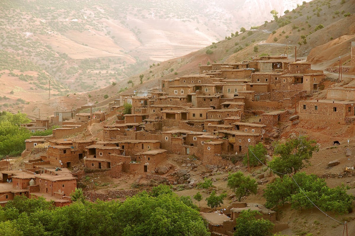
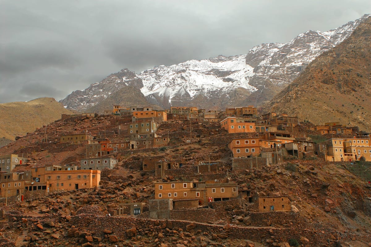
Amazigh village with snow-capped High Atlas peaks behind

Central Morocco

High Atlas Mountains

Valleys, passes and traditional villages in Morocco’s highest range

Photo: DavidDennis / David Dennis from Pozuelo de Alarcón, Madrid, Spain · CC BY-SA 2.0

The High Atlas is the backbone of Morocco: a long chain of mountains that separates the Atlantic-facing plains around Marrakech from the pre-Saharan valleys to the south. It holds the country’s highest summits, including Toubkal, and hundreds of villages where Amazigh communities have farmed terraced valleys for centuries.

For walkers, the High Atlas offers something rare: genuine mountain wilderness within a couple of hours of a major international airport, combined with living cultural landscapes rather than empty peaks.

Geography & location

The Atlas Mountains stretch across Morocco, Algeria and Tunisia; the High Atlas is the highest of Morocco’s Atlas ranges. Around Imlil, the Toubkal massif concentrates several summits above 4,000 m. Major roads cross the range over historic passes — the N9 via the Tizi n’Tichka towards Ouarzazate, and the R203 via the Tizi n’Test towards Taroudant — while countless mule tracks link the valleys on foot.

Landscapes & nature

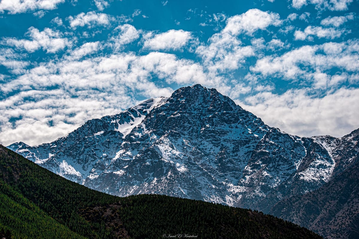
Landscapes change dramatically with altitude and season: irrigated terraces and walnut groves on the valley floors, red and ochre hillsides, juniper and holm-oak woodland, high pastures used in summer, and bare rocky summits that hold snow through much of winter and spring.

Mountains & hiking

The range suits every level of walker. Day hikes link villages on well-used mule paths; multi-day treks cross passes between valleys and sleep in village guesthouses or gîtes; and the Toubkal massif offers high summits for fit trekkers. Routes, distances and difficulty can be adapted to your group with a local guide.

Culture & traditions

High Atlas villages are built from local stone and earth, often stepped up the hillside above their fields. Communities share irrigation channels, and the weekly souk remains an important meeting place. Visitors are welcomed with tea, but respectful behaviour matters: dress modestly, ask before photographing people, and follow your guide’s lead in homes and villages.

Practical travel information

  • Gateway: Marrakech is the usual starting point; Imlil is about 1 h 30 min away by road.
  • Seasons: spring and autumn are ideal for most walking; summer is pleasant at altitude; winter brings snow on the higher ground.
  • Getting around: private transfers are the most practical way to reach trailheads with luggage.

Gallery

Frequently asked questions

Where are the High Atlas Mountains?

They run across central Morocco, south of Marrakech. The Toubkal massif near Imlil is the highest part of the range.

Can I visit the High Atlas on a day trip from Marrakech?

Yes. Imlil and the surrounding valleys are about 1 h 30 min from Marrakech, making a full day of walking very achievable.

Tours & activities here

Panoramic view down the green Imlil valley framed by mountains
Mountain Trekking

Imlil Valley Day Hike

A full day on foot around Imlil: mule paths through walnut groves, Amazigh villages, a mountain pass and big views of the Toubkal massif.

Full day (around 4–6 hours of walking)Moderate
Price on request
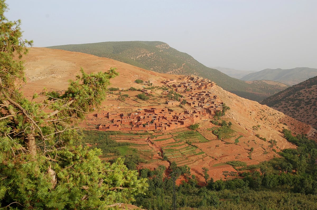
Green terraces and juniper trees around a village in the High Atlas
Mountain Trekking

High Atlas Multi-Day Trek (3–6 days)

A tailor-made trek from Imlil across passes and valleys, sleeping in mountain villages — with the option to include a Toubkal ascent.

3 to 6 days (flexible)Moderate
Price on request
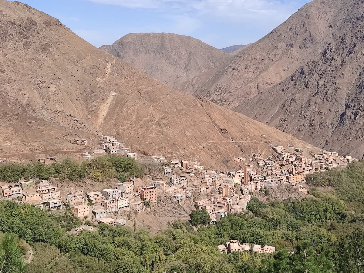
Earth-built Amazigh village on a High Atlas hillside
Cultural Experiences

Amazigh Village & Mountain Hospitality Experience

Slow down and spend time in a High Atlas village with a local guide: daily life, traditions, the language and the ritual of mint tea.

Half day (about 3–4 hours)Easy
Price on request
Snow-covered summit of the High Atlas seen from Imlil under a blue sky
Private & Tailor-Made

Tailor-Made Atlas Experience

Tell us how you like to travel and we will design a private itinerary around you — treks, village time, Toubkal and transfers, combined your way.

Flexible
Price on request
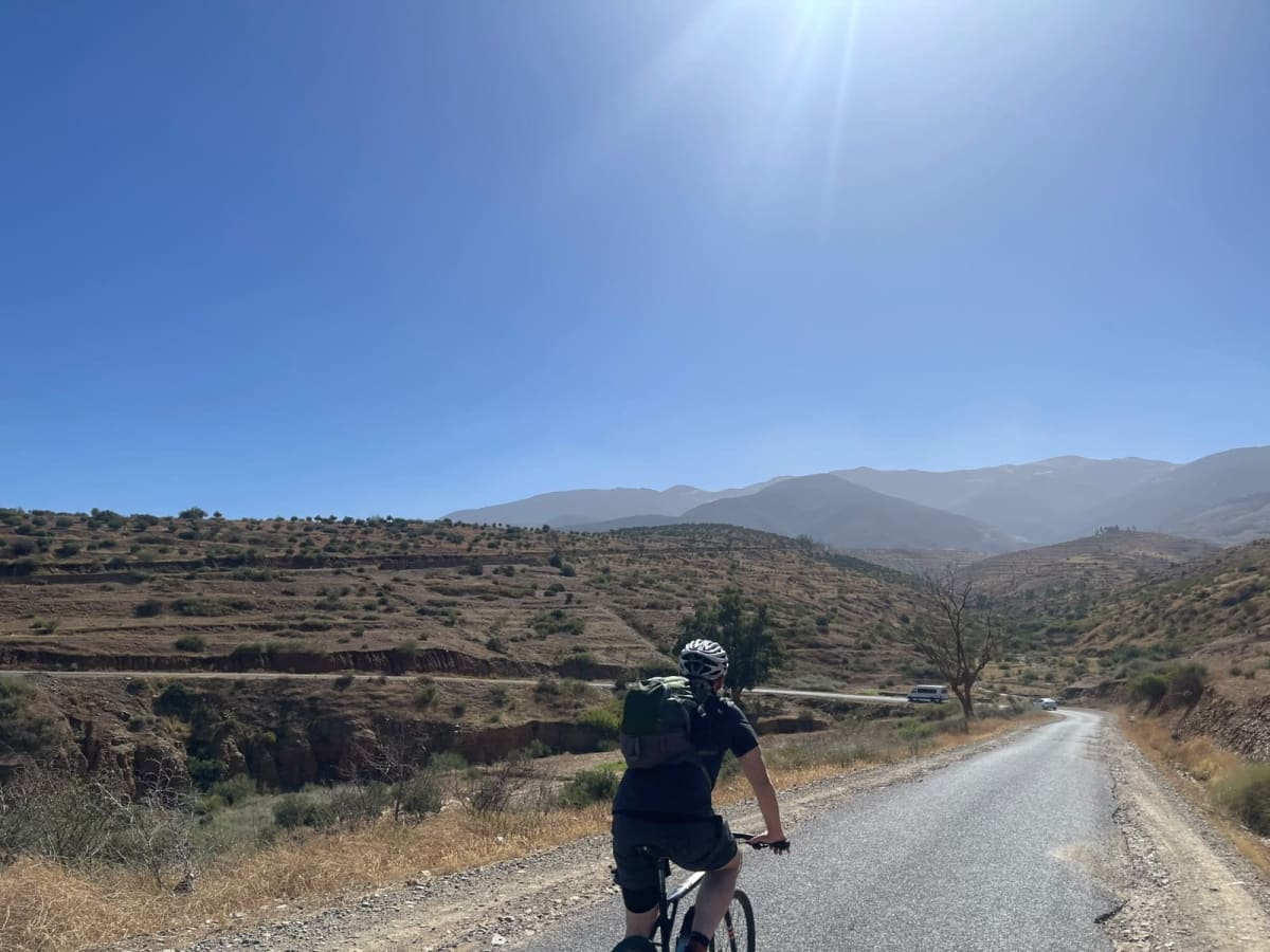
A cyclist with a helmet and backpack riding a quiet road through dry, terraced hills towards hazy mountains
Cycling & E-bikes

Cycling & E-bike Ride in the Atlas Foothills

A private ride on quiet roads and tracks through the foothills of the High Atlas — red earth, olive groves and wide mountain views, with electric bikes to make the climbs easier.

Day trip — route planned with you
Price on request
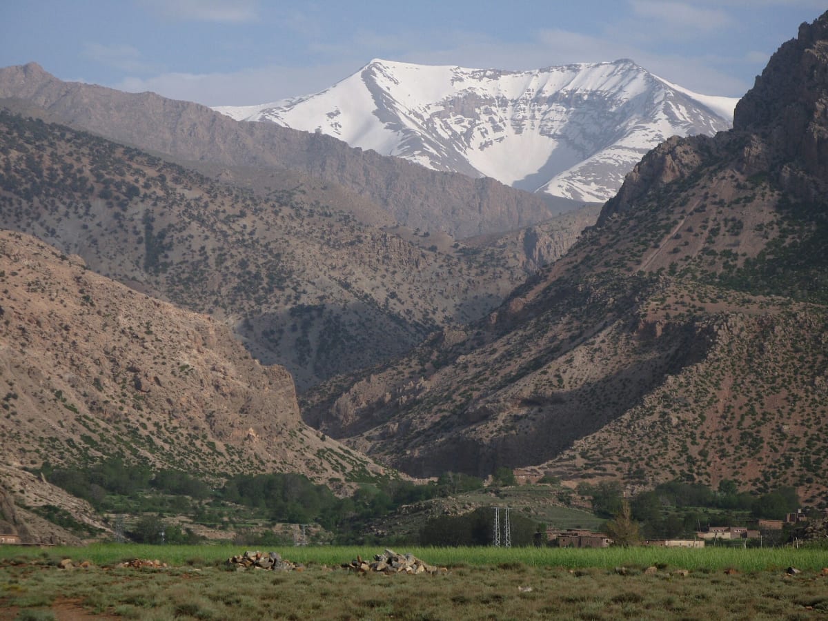
The snow-covered summit of Ighil M’Goun above a deep valley, seen from Arous
Mountain Expeditions

M’Goun Summit Trek from the Aït Bouguemez Valley (5–7 days)

Five to seven days in the central High Atlas: the green “Happy Valley” of Aït Bouguemez, high passes and shepherds’ plateaux, and the long summit ridge of Ighil M’Goun at 4,071 m — one of Morocco’s few summits above 4,000 metres.

5 to 7 daysChallenging
Price on request

Related articles

Amazigh village with snow-capped High Atlas peaks behind
Destinations & Culture4 min read

Exploring the High Atlas Mountains in Morocco

Where the High Atlas is, what makes it special, how to explore it on foot or by road, and how to choose the right area for your trip.

Earth-built Amazigh village on a High Atlas hillside
Destinations & Culture4 min read

Traditional Berber Villages in the High Atlas

How High Atlas villages are built, how communities share water and work the land, and how to visit Berber villages respectfully with a local guide.

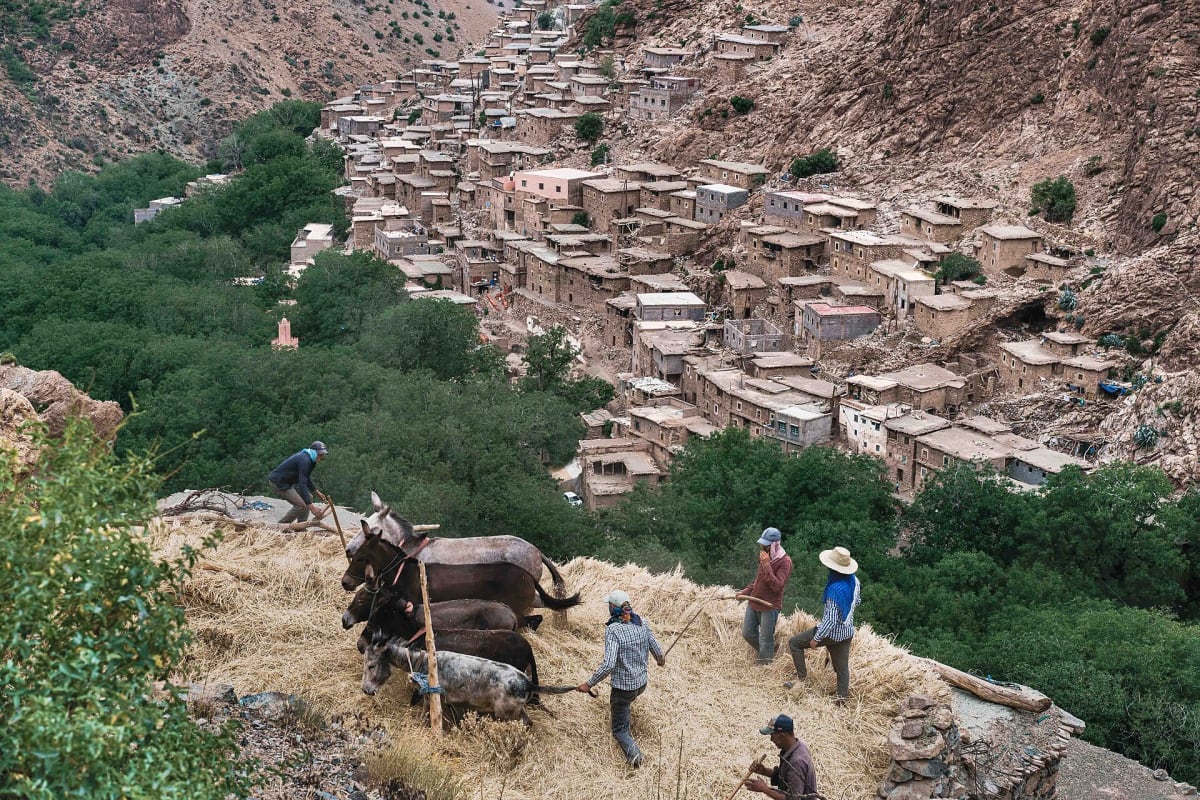
Villagers threshing grain with mules on a terrace in the High Atlas
Destinations & Culture4 min read

Discover Amazigh Culture and Traditions in Morocco

Language, hospitality, food, festivals and everyday life: an introduction to the Amazigh (Berber) culture you will meet in the High Atlas, and how to experience it respectfully.

Nearby destinations

Imlil village and its walnut groves at the foot of steep High Atlas slopes

1,740 m

Imlil

The mountain village at the gateway to Mount Toubkal

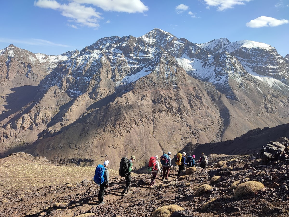
A group of hikers on the trail with snow-streaked Jebel Toubkal behind

4,167 m

Mount Toubkal

North Africa’s highest summit at 4,167 metres

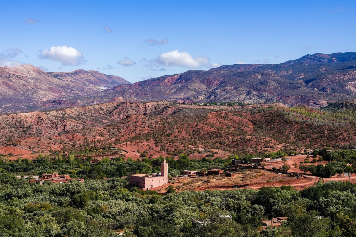
Ouirgane valley with red hills, olive groves and a village mosque

Ouirgane

A quiet valley of red hills and olive groves

Ready for the mountains?

Tell us your dates and what you would like to do. We will reply personally with ideas, availability and a clear quote.