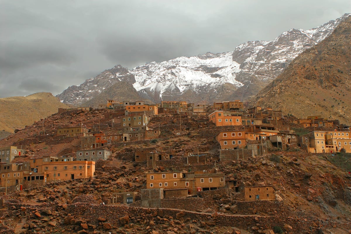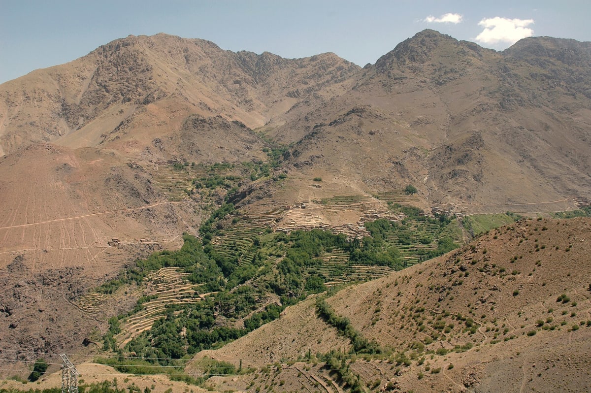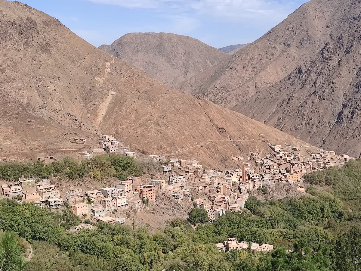
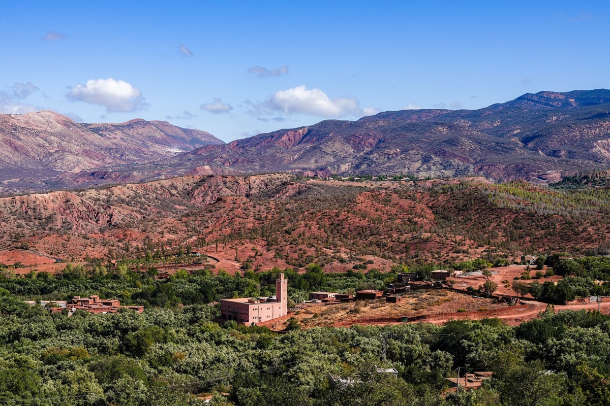
Ouirgane is a small village set in the valley of the Nfis river, on the R203 road that leads from Asni towards the Tizi n’Test pass. Calmer and lower than Imlil, it is appreciated by travellers looking for a quiet stay, easy walks and wide views of the High Atlas foothills.
Geography & location
The village lies about 65 km from Marrakech by road, west of Asni, on the edge of the Toubkal National Park area. The Nfis valley continues south-west through the mountains towards Ijoukak and the historic Tin Mal mosque before the road climbs to the Tizi n’Test.
Landscapes & nature
Red and ochre hills, olive and almond trees, pine and juniper on the slopes, and a reservoir on the river give Ouirgane a softer, more pastoral feel than the high valleys around Toubkal.
Mountains & hiking
Ouirgane is well suited to gentle and moderate walks between hamlets, along the river and up to viewpoints over the valley. Longer routes link the area with neighbouring valleys. Ask us about combining Ouirgane with Imlil or Asni.
Culture & traditions
Like the rest of the Al Haouz region, the valley is home to Amazigh farming communities. Many villages here were affected by the September 2023 earthquake, whose epicentre was in this part of the High Atlas; reconstruction has been ongoing since.
Practical travel information
- From Marrakech: about 65 km, roughly 1 h 30 min by road.
- From Imlil: reached via Asni.
- Best for: relaxed stays, easy walks and quiet landscapes.
Gallery
Frequently asked questions
Is Ouirgane good for hiking?
Yes, for easy to moderate walks. For high-mountain trekking and the Toubkal ascent, Imlil is the better base.