


Mountain Trekking
Mount Toubkal 2-Day Summit Trek
The classic ascent of North Africa’s highest peak (4,167 m) from Imlil, with a night at the mountain refuge and a licensed local guide from the valley.
2 days / 1 nightChallenging
Price on request
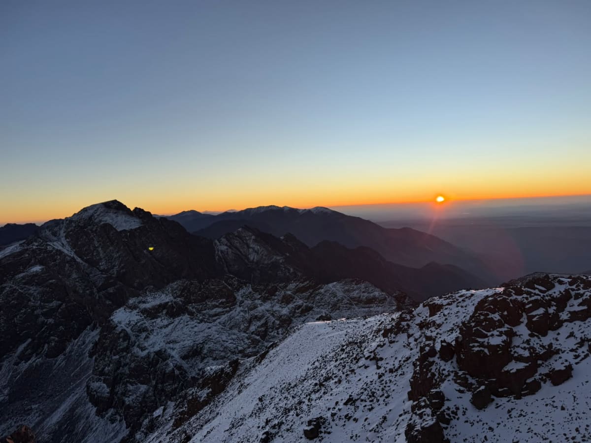
Photo story · Mount Toubkal
Real photographs from the treks of Abderrahim Choujaa, your licensed mountain guide from Imlil — from the village at the trailhead to the summit pyramid at 4,167 m, and back down through the snow.
Photo: Abderrahim Choujaa · © Atlas Trek Travel
The route in pictures
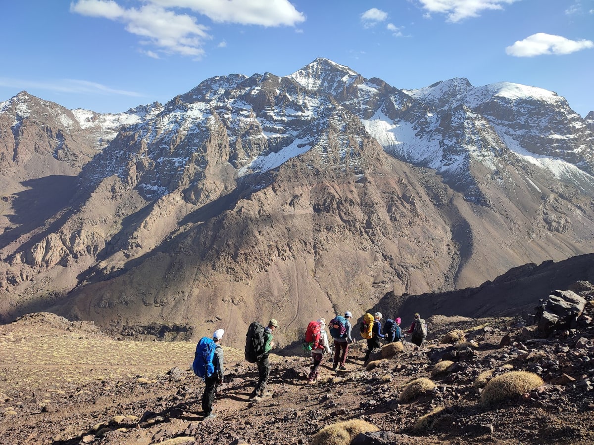
There are no stock images on this page. Every photograph comes from the Toubkal treks of Abderrahim Choujaa, the licensed mountain guide from Imlil who leads our ascents — so what you see is what the route really looks like.
The story follows the classic itinerary: up the Mizane valley to the refuges at about 3,200 m, a short night, a head-torch start before dawn and the summit of North Africa’s highest peak — then the long walk back down to the valley.
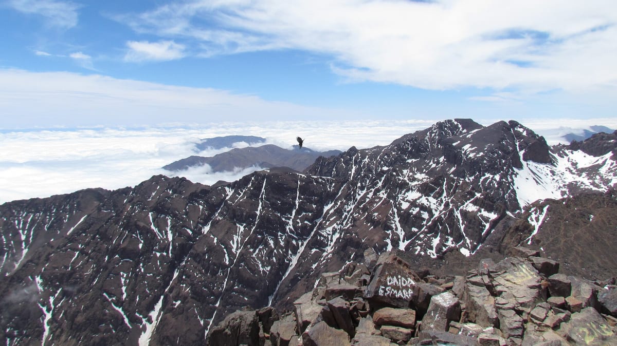
Photos taken on different treks and in different seasons. Snow, cloud and sunshine can all appear on the same route — ask us about current conditions before you book.
The route at a glance
Schematic profile, not to scale.
Start · ≈1,740 m
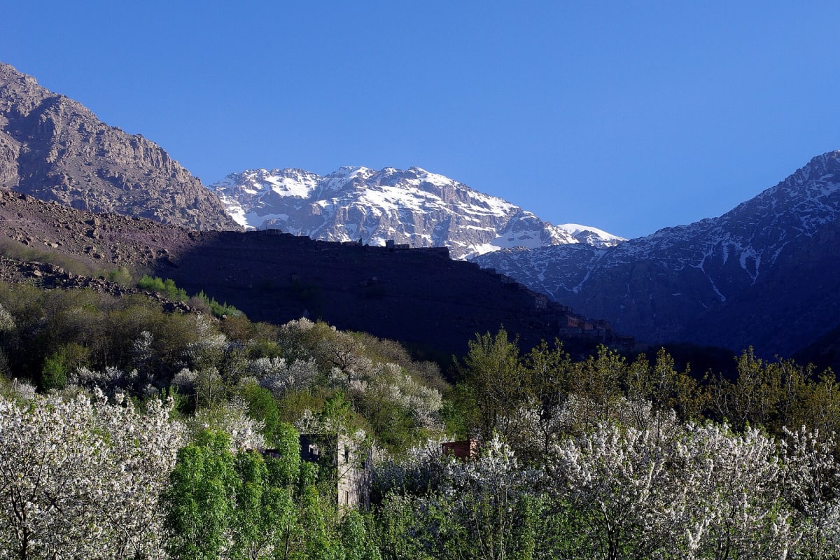
The trek starts in Imlil, a village of earth-and-stone houses at the head of a green valley, about 65 km south of Marrakech. This is where you meet your guide, where the road ends and the mule path begins.
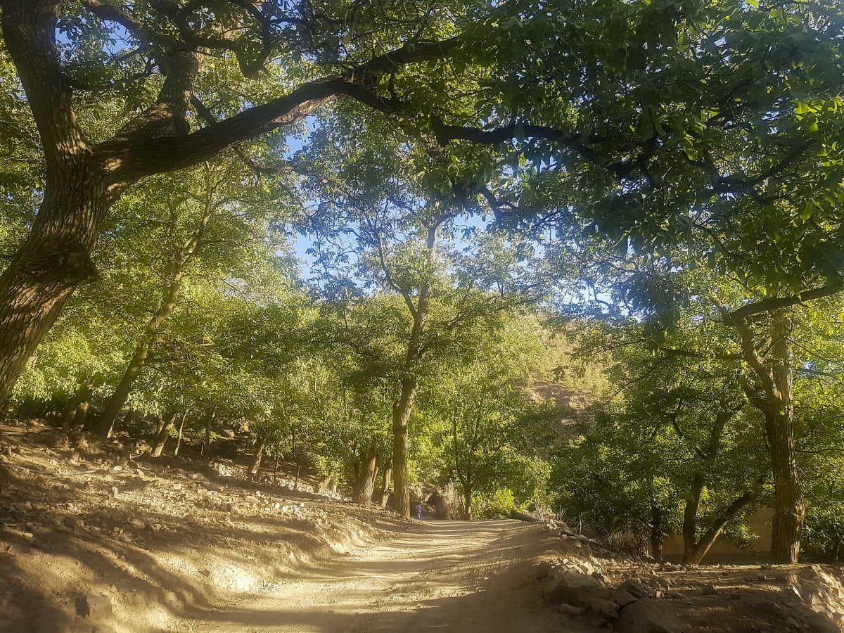
Terraced fields, orchards and tall poplars line the first part of the walk — in autumn the valley turns yellow and gold.

Day 1 · 5–6 hours
From Imlil the path climbs through the village of Aroumd, crosses the wide stony riverbed and passes the shrine of Sidi Chamharouch. Little by little the green gives way to scree, rock and scattered shrubs.
It is a steady climb rather than a steep one. Take your time, drink often and look back: the views down the valley grow wider with every hour.
Night · ≈3,200 m
The stone refuges stand at about 3,200 m at the foot of the Toubkal massif — the last shelter before the summit. The afternoon is for resting, eating well and drinking plenty of water.
Nights are short here: summit day starts long before sunrise, so an early night makes all the difference.

Day 2 · pre-dawn start
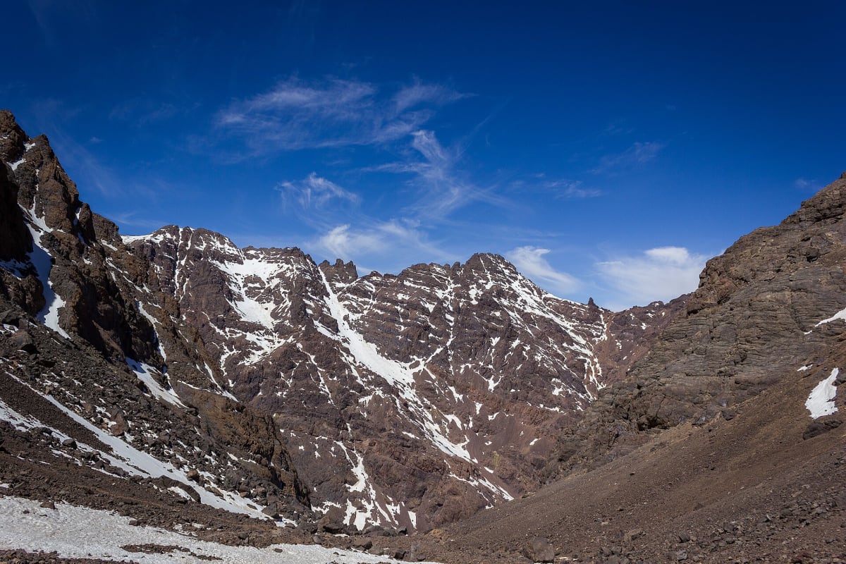
Head-torches on, layers zipped up, and a slow, steady pace up the south cirque. For a long while there is only the circle of light at your feet and the crunch of the path.
Then the horizon turns orange behind the ridges and the first sun lights up the peaks around you. Usually 3–4 hours from the refuge to the top.


Summit · 4,167 m
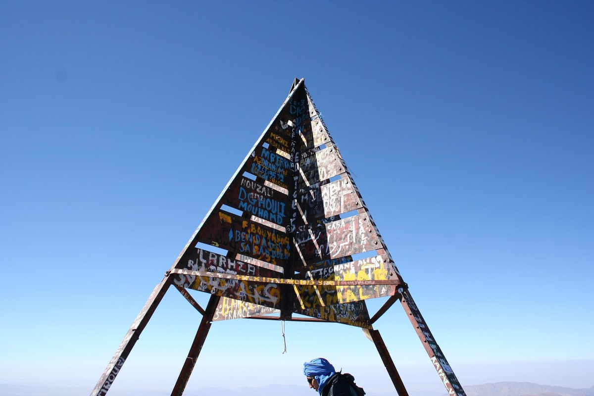
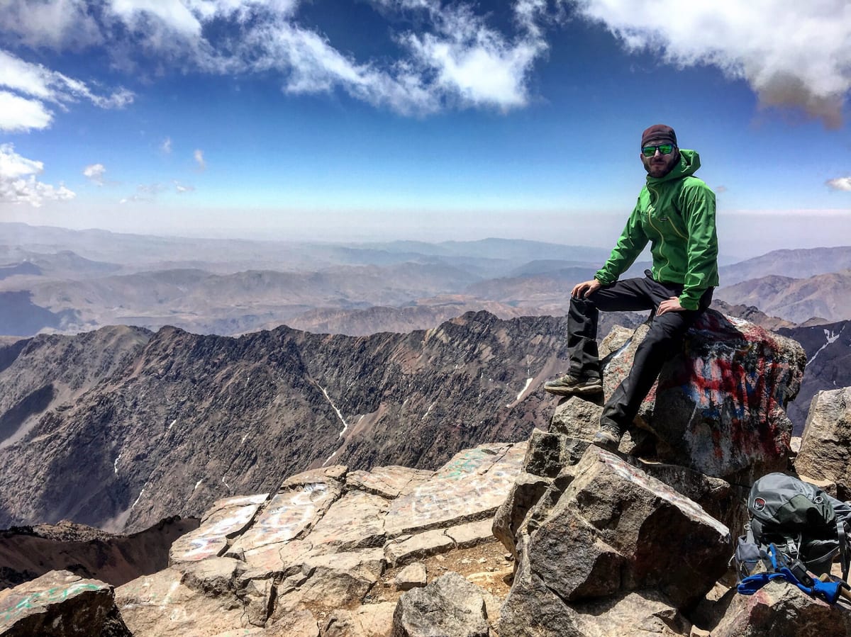
A metal pyramid marks the top of Toubkal, the highest point in North Africa. On a clear morning the High Atlas spreads out in every direction, ridge after ridge.
Take your photos, eat something and put on an extra layer — then start down while your legs and the weather are still on your side.
Descent · often 9–11 hours in total
Mountain weather changes quickly. In winter and spring — sometimes as early as autumn — the upper slopes can be under snow, and cloud can fill the valleys within minutes.
The descent — back to the refuge, then all the way down to Imlil — is walked with the same care as the climb. It is a long day: often 9–11 hours in total.
Good to know: in snow, crampons and an ice axe — and the experience to use them — may be needed. Ask us about the conditions for your dates.
Walk this route
Choose the classic two-day ascent or the three-day trek with a sunrise summit — guided by a licensed mountain guide from Imlil.
Ask about dates on WhatsAppThe classic ascent of North Africa’s highest peak (4,167 m) from Imlil, with a night at the mountain refuge and a licensed local guide from the valley.
A gentler, better-acclimatised Toubkal ascent: a first night in the valley, a second at the refuge, and a pre-dawn climb to watch sunrise from 4,167 m.
Before you go
Route, difficulty, seasons, refuges, guides and preparation: an honest, practical guide to climbing Jebel Toubkal (4,167 m) from Imlil.
The practical side of a Toubkal trek: booking, what affects the price, a typical day, refuges, food, mules, safety, insurance, tipping and travelling solo.
Season by season — what to expect on Toubkal in spring, summer, autumn and winter, and how to choose the right month for your trip.
A complete, tested packing list for climbing Mount Toubkal: clothing layers, footwear, daypack essentials, refuge comforts, health items and what changes in winter.
An honest answer from a local guide: who can climb Toubkal as a first big mountain, who should prepare more, and which itinerary gives beginners the best chance.
A practical preparation plan for trekking in the High Atlas: fitness training, altitude, footwear, health, mental preparation and what to do in the days before you arrive.