
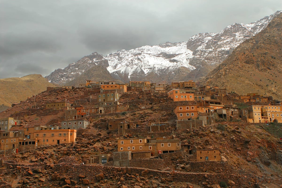
High Atlas Mountains
Valleys, passes and traditional villages in Morocco’s highest range
Mountain Expeditions
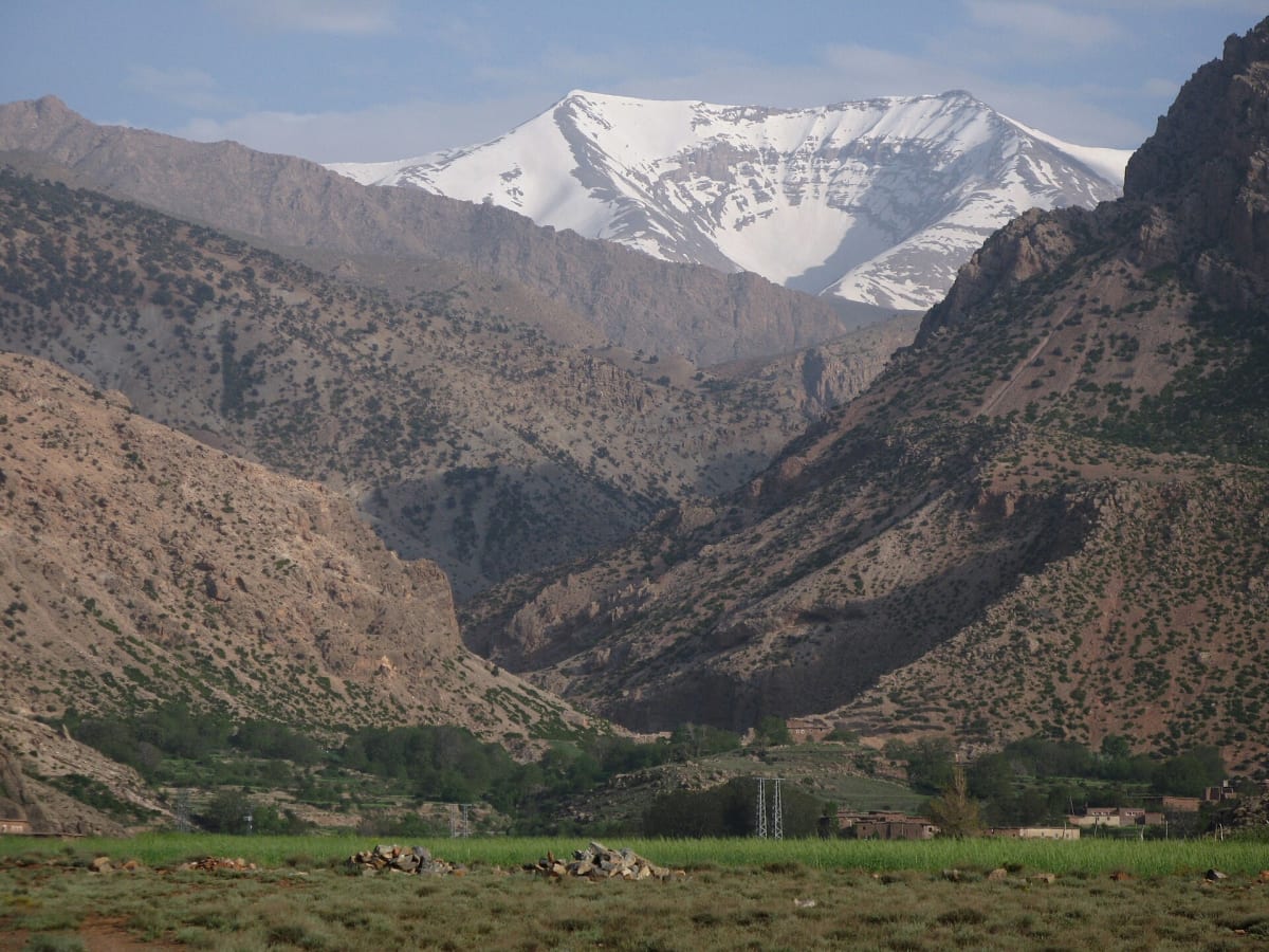
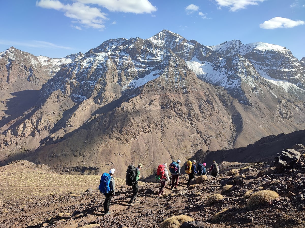
Five to seven days in the central High Atlas: the green “Happy Valley” of Aït Bouguemez, high passes and shepherds’ plateaux, and the long summit ridge of Ighil M’Goun at 4,071 m — one of Morocco’s few summits above 4,000 metres.
Photo: Migeo53 · CC BY-SA 4.0
Far from the busier trails of the Toubkal massif, the M’Goun is a world of high plateaux, red and ochre ridges and shepherds’ camps. The trek starts in the Aït Bouguemez — often called the “Happy Valley” — a green valley at around 1,800 m where earthen villages, walnut trees and small fields sit between bare mountains. The valley is part of the M’Goun UNESCO Global Geopark, and dinosaur footprints are preserved in the rock nearby.
From the valley you cross a high pass to the Tarkeddit plateau, at around 2,900 m, then climb the long summit ridge of Ighil M’Goun (4,071 m). On a clear day the view stretches far across the central High Atlas. Longer versions of the trek continue through the remote valleys and gorges on the southern side of the massif instead of returning the same way.
The trek is non-technical in summer conditions but long and demanding: several days of 5–8 hours of walking, a summit day that often takes 8–10 hours, and nights at altitude. You walk with a licensed mountain guide. The exact route, the number of days (five to seven), the mules and the nights in gîtes, refuges or camps are agreed with you and written into your quote.
A long, beautiful drive into the central High Atlas — about 190 km, usually 4 to 5 hours. Afternoon walk between the villages of the valley and a first night in a gîte.
Climb out of the valley to the Tizi n’Aït Imi pass and descend to the Tarkeddit plateau, where shepherds graze their flocks in summer. Usually 6–7 hours.
An early start for the long climb to the summit ridge and along it to the top, then back down to the plateau — often 8–10 hours in total.
Descend from the plateau into the high valleys on the southern side of the massif, between red cliffs and terraced fields. Night in camp or a village gîte.
On the six- and seven-day versions, continue through gorges and remote villages before meeting the vehicle. On the five-day version, return towards the Aït Bouguemez instead.
Drive back to Marrakech, arriving in the evening.
You should be comfortable walking 5–8 hours a day for several days in a row, with long climbs and descents. Previous multi-day hiking experience is strongly recommended.
Usually from late spring to autumn. In winter and early spring the high ground is often under snow, and the trek becomes a winter expedition that needs different equipment.
Five days are enough to reach the summit and return to the Aït Bouguemez. Six or seven days allow a longer route through the valleys and gorges south of the massif, with more time to acclimatise.
The night before the summit is spent at around 2,900 m. Walk at a steady pace, drink plenty and tell your guide if you feel unwell.
No payment is taken online. We confirm availability and price with you first.
Valleys, passes and traditional villages in Morocco’s highest range
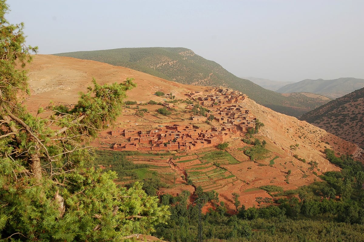
A tailor-made trek from Imlil across passes and valleys, sleeping in mountain villages — with the option to include a Toubkal ascent.
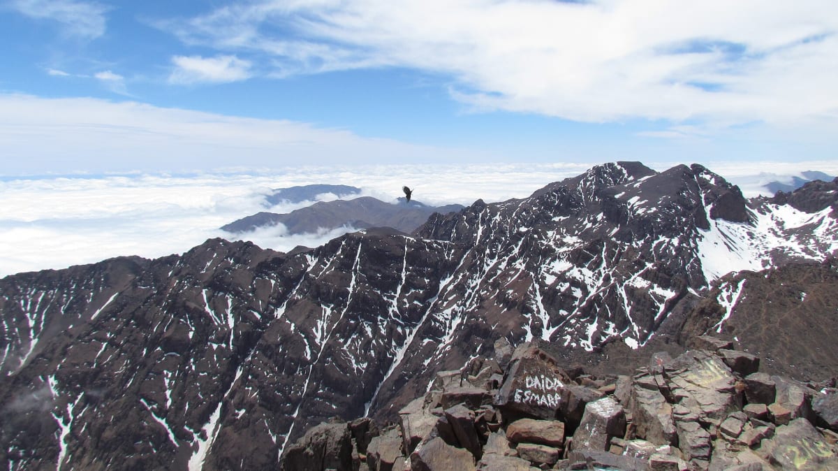
A gentler, better-acclimatised Toubkal ascent: a first night in the valley, a second at the refuge, and a pre-dawn climb to watch sunrise from 4,167 m.
The classic ascent of North Africa’s highest peak (4,167 m) from Imlil, with a night at the mountain refuge and a licensed local guide from the valley.