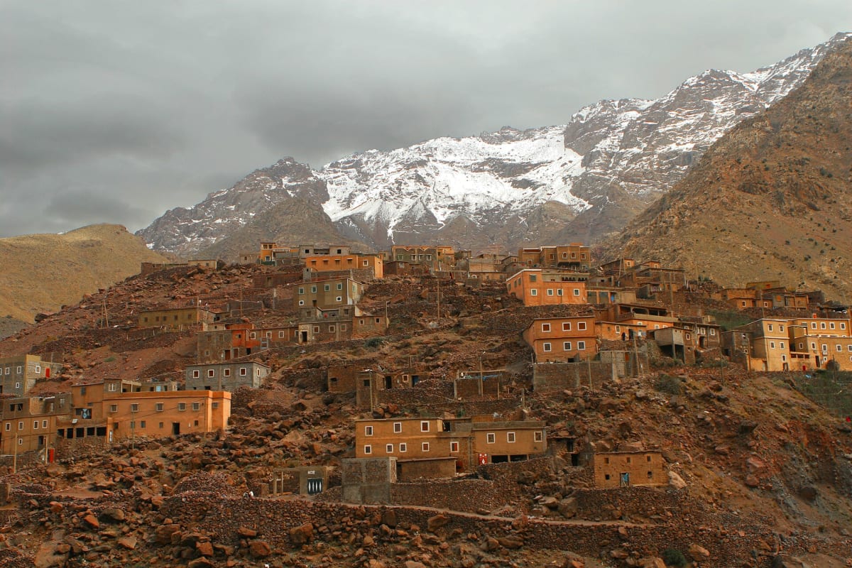
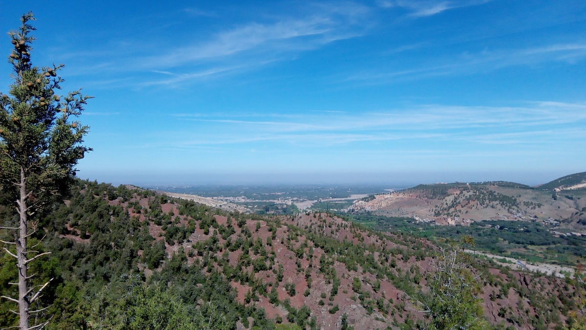
The Ourika valley is one of the most visited valleys of the High Atlas, thanks to its closeness to Marrakech and the waterfalls above the village of Setti Fatma. Following the Ourika river upstream, the road passes orchards, riverside cafés and Amazigh villages clinging to the slopes.
Geography & location
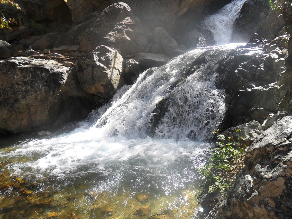
The valley lies south-east of Marrakech. The road runs through Tnine Ourika and Aghbalou before ending at Setti Fatma, about 63 km from the city centre. Above Setti Fatma, a rocky path climbs alongside a series of cascades.
Landscapes & nature
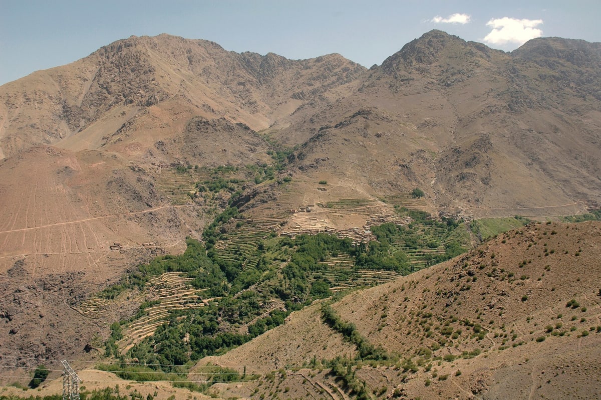
A fast-flowing river, terraced fields, walnut and poplar trees, and steep green-and-red slopes. Autumn colours and spring flowers make the valley especially attractive in those seasons.
Mountains & hiking
The walk up to the cascades above Setti Fatma is short but uneven, with rocky steps and some scrambling. Quieter trails lead into the side valleys and villages above the river. Good footwear is essential.
Culture & traditions
The valley is home to Amazigh communities, and Tnine Ourika hosts a weekly Monday market (tnine means “Monday”). Riverside restaurants serve tagines by the water, especially at weekends.
Practical travel information
- From Marrakech: about 63 km to Setti Fatma, roughly 1 h 30 min.
- Weather caution: summer and autumn storms can cause the river to rise very quickly — follow local advice.
- Crowds: weekends and holidays are busy; weekdays are calmer.
Gallery
Frequently asked questions
How long does it take to reach the Ourika waterfalls?
About 1 h 30 min by road from Marrakech to Setti Fatma, then a short but rocky walk to the first cascades.