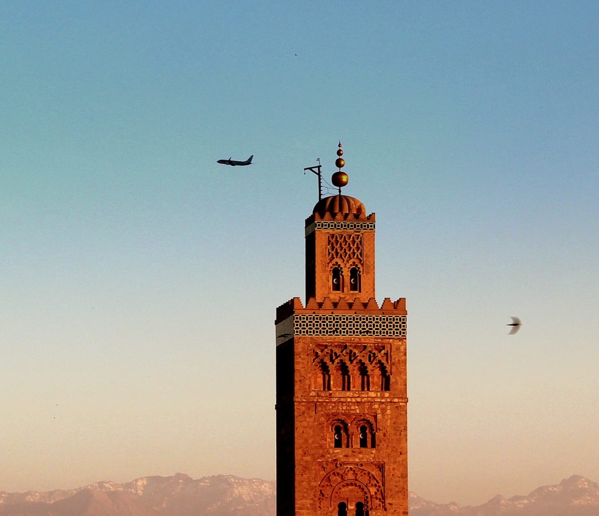
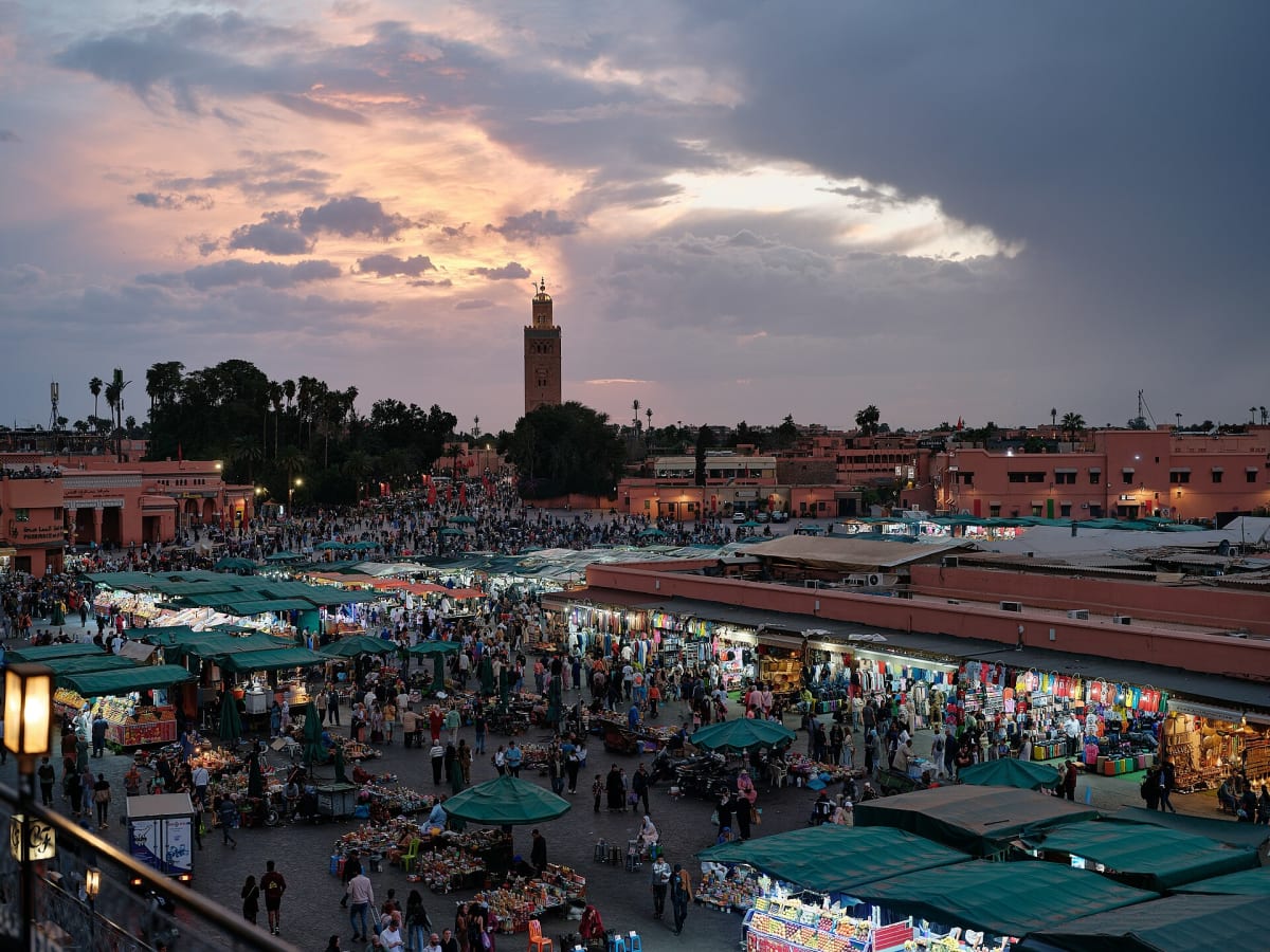
Marrakech is where most mountain journeys begin. Its international airport, its UNESCO-listed medina and the famous Jemaa el-Fnaa square make it the natural first or last stop of a trip — and on clear winter mornings the snow-capped High Atlas is visible from the city’s rooftops.
Geography & location
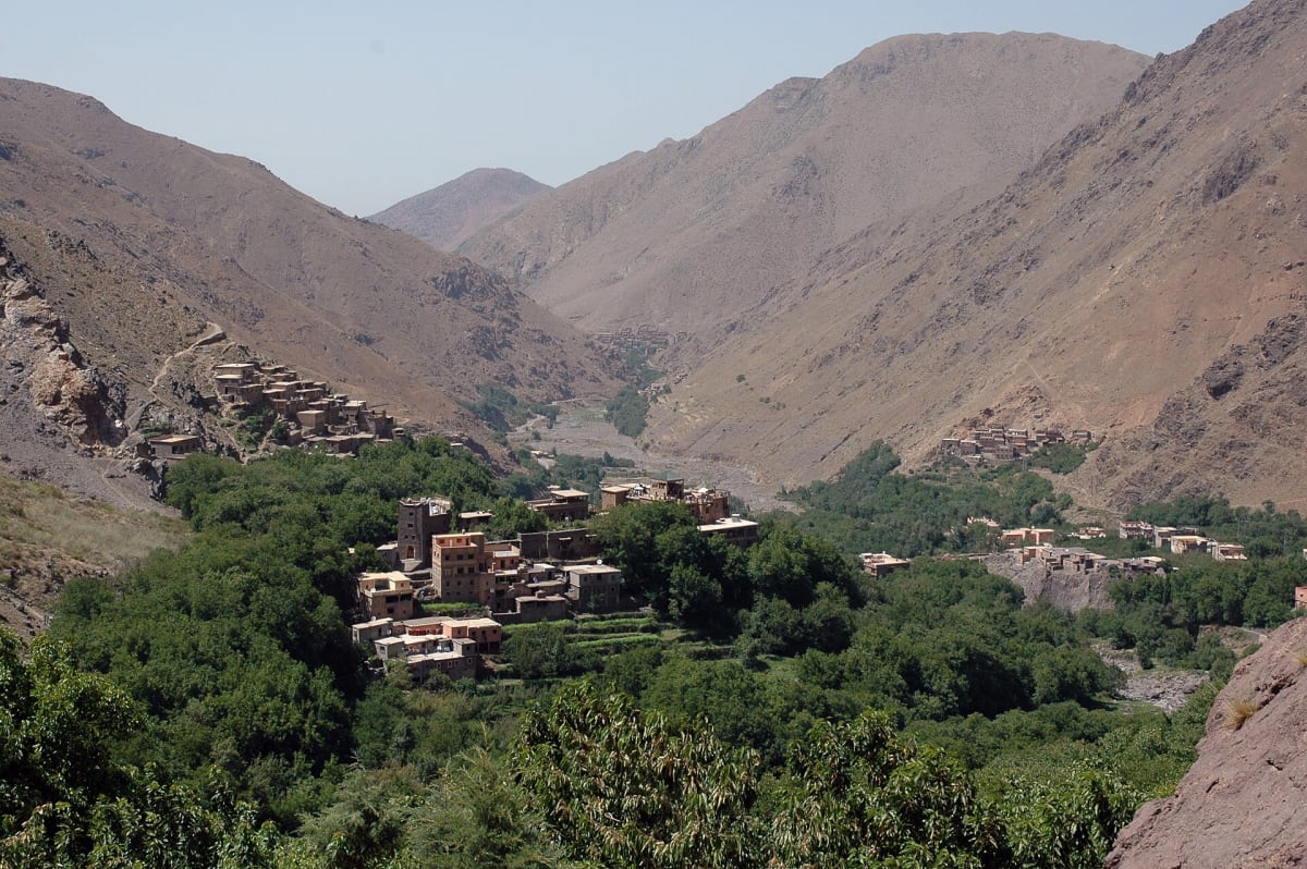
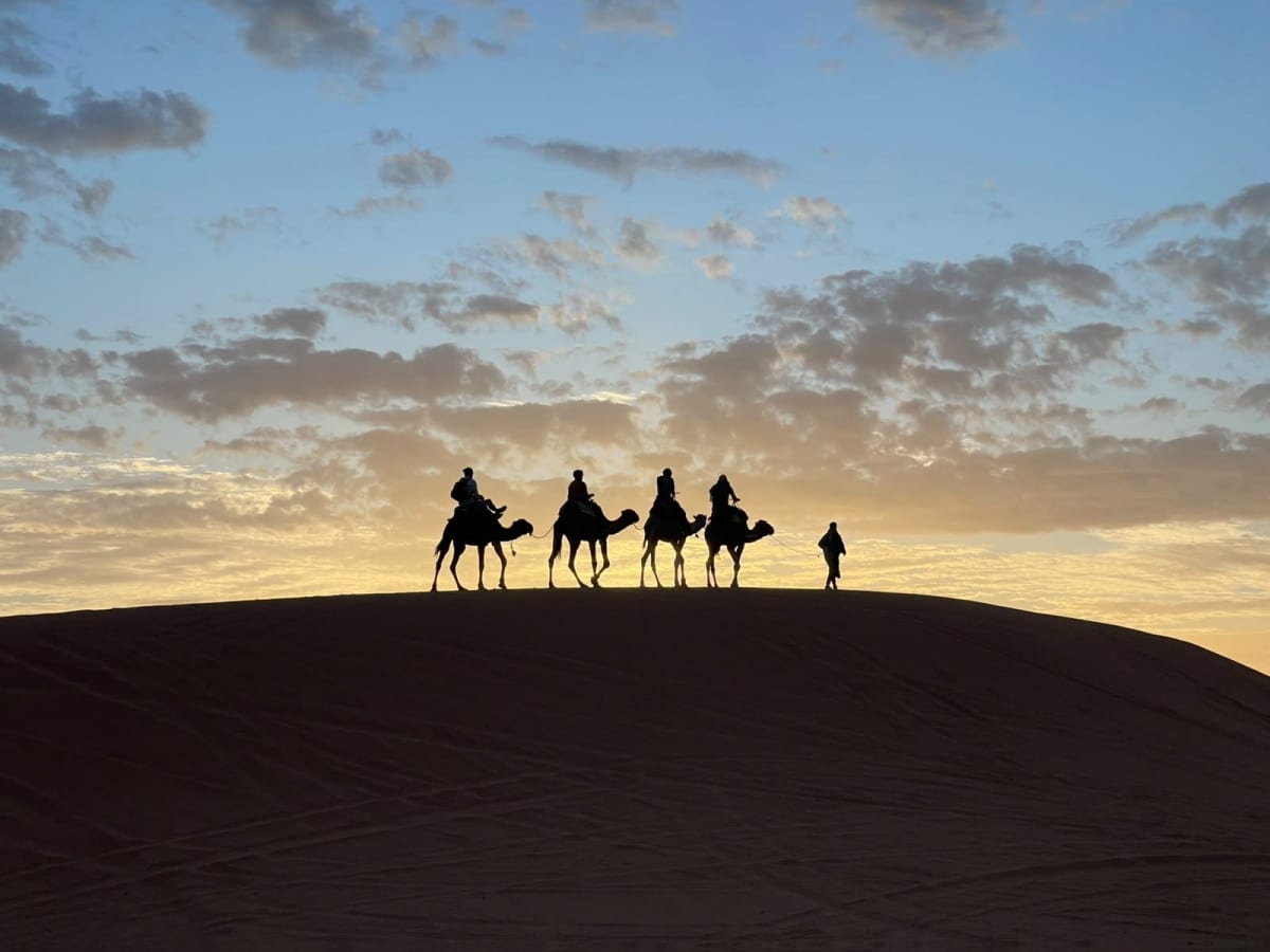
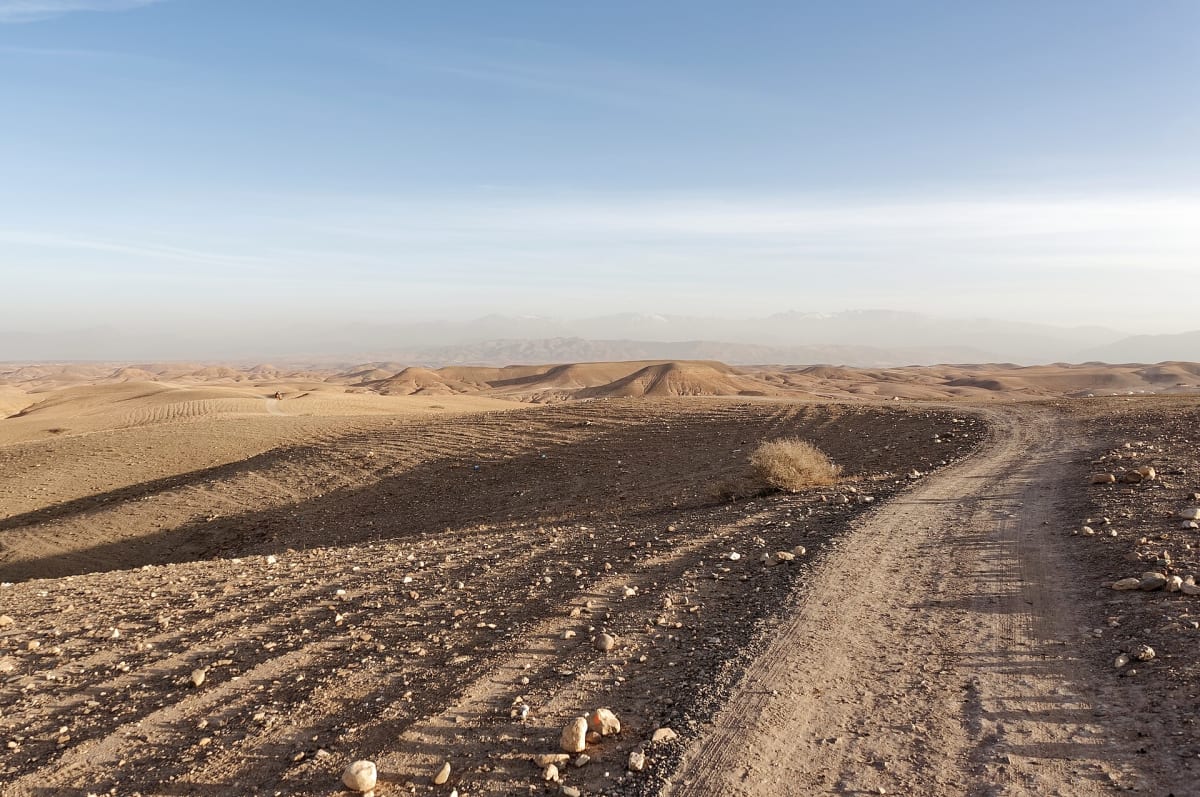
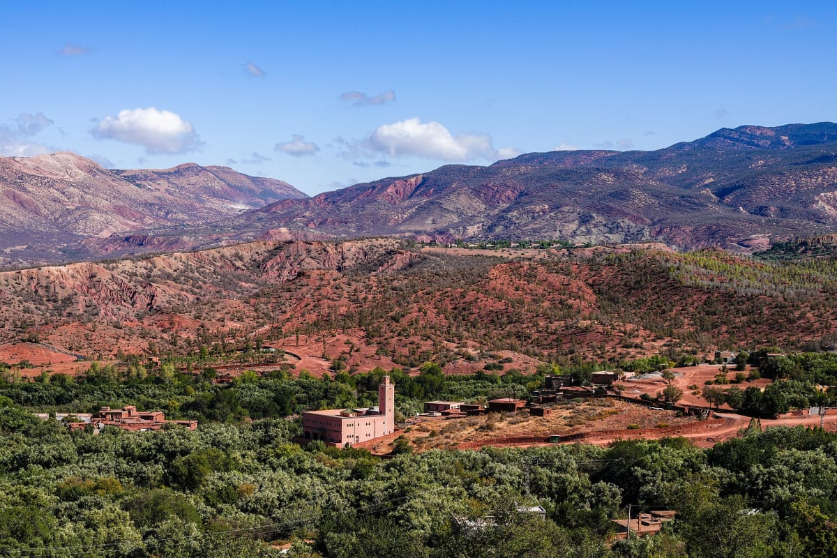
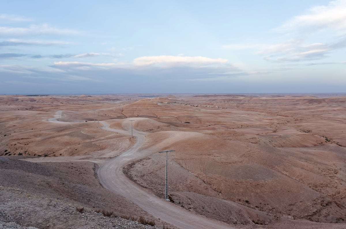
Marrakech lies on the Haouz plain at the foot of the High Atlas. Marrakech Menara Airport (RAK) is only a few kilometres from the medina. Imlil is about 65 km to the south, the Ourika valley to the south-east, and the Agafay desert to the south-west.
Landscapes & nature
Palm groves, historic gardens and the ochre walls of the medina contrast with the mountains that rise abruptly to the south.
Mountains & hiking
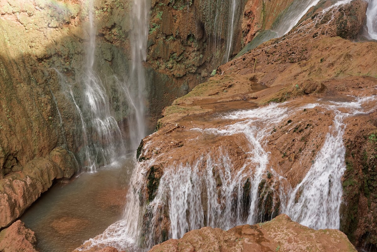
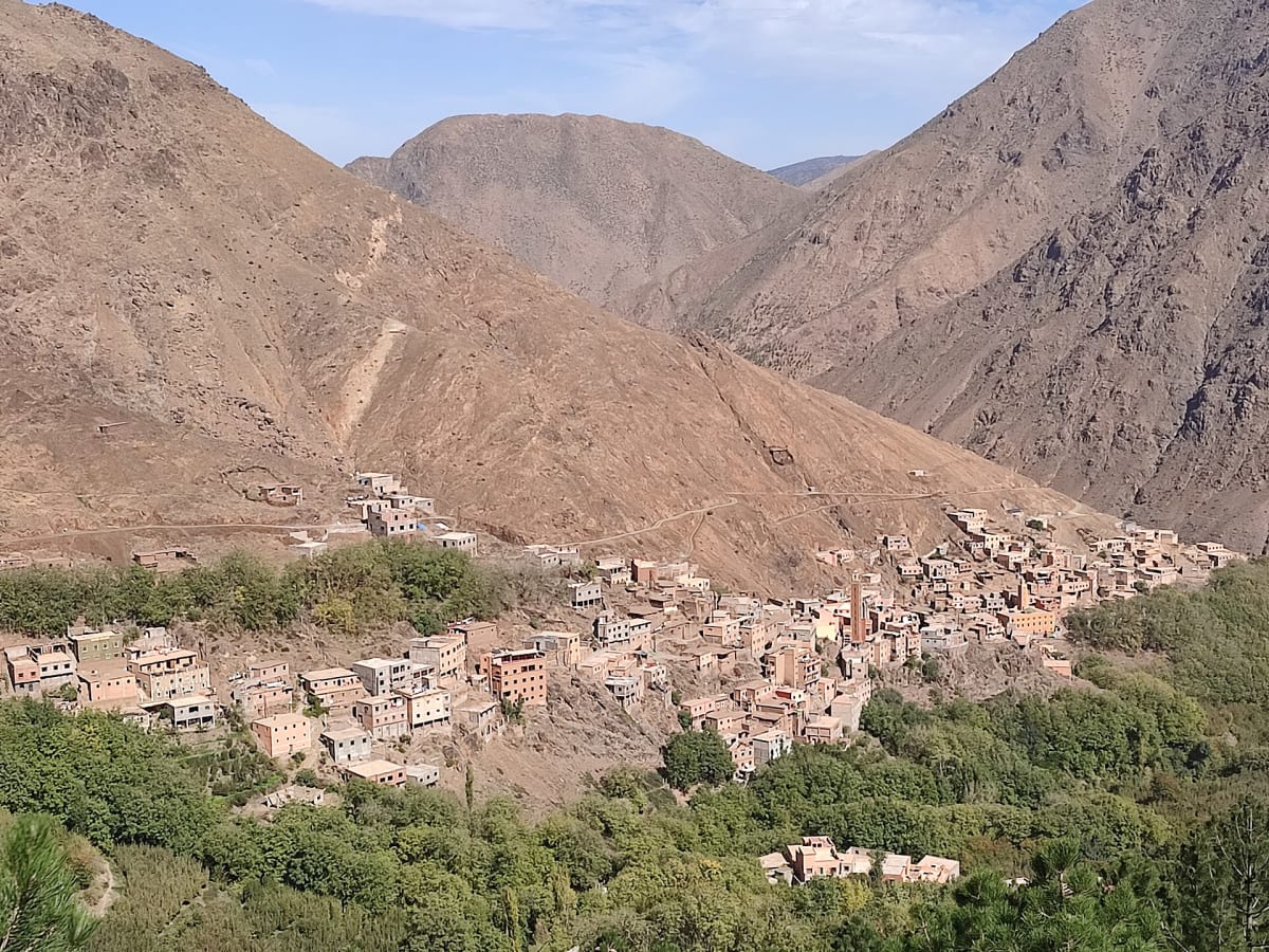
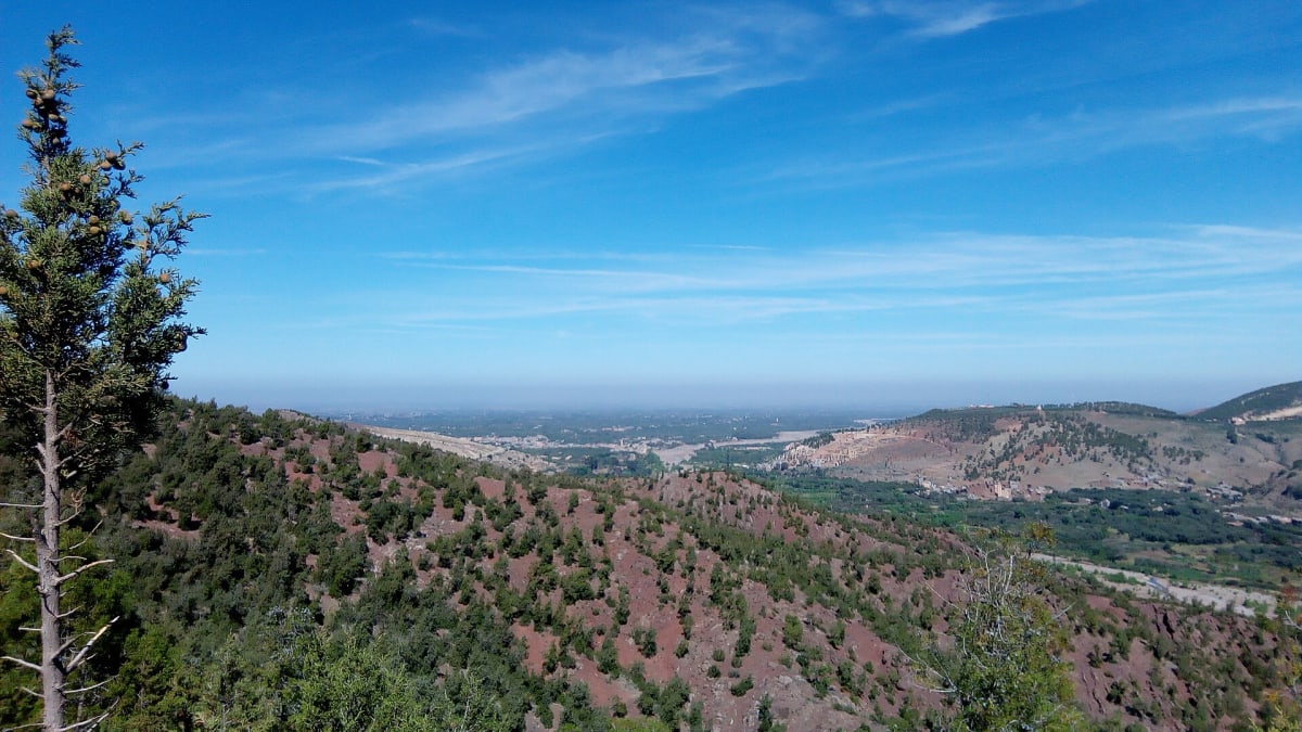
There is no trekking in the city itself, but Marrakech is the base for day trips into the Atlas: Imlil, the Ourika valley and the foothills are all within reach in a day.
Culture & traditions
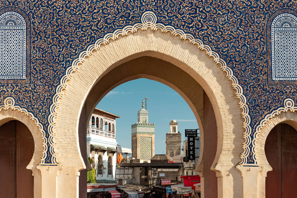
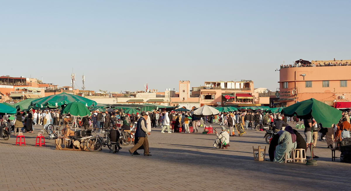
Founded in the 11th century, Marrakech has been a major political and cultural centre for nearly a thousand years. Its medina is a UNESCO World Heritage Site, and the cultural space of Jemaa el-Fnaa — storytellers, musicians and food stalls — is recognised by UNESCO as intangible cultural heritage.
Practical travel information
- Airport: Marrakech Menara (RAK), about 15–20 minutes from the medina by car.
- To Imlil: about 1 h 30 min by private transfer.
- Tip: many riads in the medina cannot be reached by car — your driver will meet you at the nearest access point.
Gallery
Frequently asked questions
How far is Imlil from Marrakech?
About 65 km, roughly 1 h 30 min by road.